USGS Library commemorated the 45th Anniversary of the eruption of Mount St. Helens with a special exhibit
The U.S. Geological Survey (USGS) Library in Reston, VA, commemorated the 45th Anniversary of the eruption of Mount St. Helens with a special exhibit held in the Art Hallway of the USGS National Center in May, 2025.
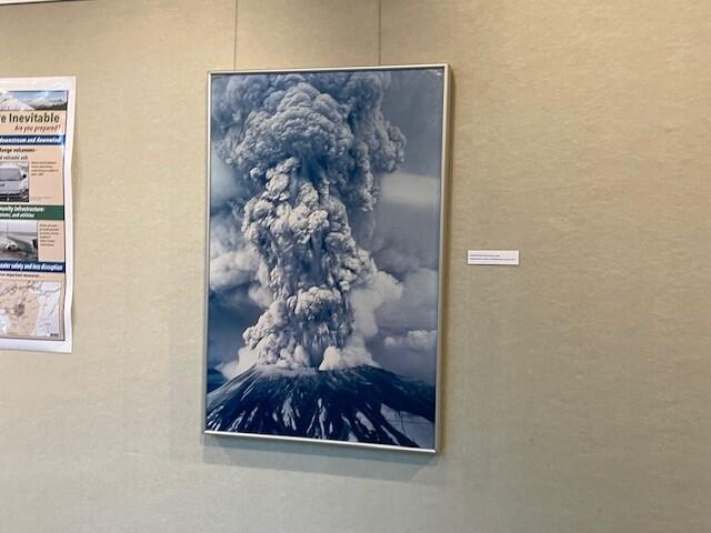
Located in Washington State, Mount St. Helens is among the most active volcanoes of the Cascade Volcanic Arc. Its catastrophic eruption on May 18, 1980 was a significant geological event that resulted in a lateral blast that "scorched 230 square miles of forest," generated the largest landslide in recorded history, and produced an ash cloud that eventually circled the globe. Fifty-seven people lost their lives, including USGS Geologist David A. Johnston.
This commemorative exhibit showcased the instrumental role the USGS had in monitoring and responding to the eruption, the broader scientific and historical documentation marking this geological phenomenon, and the Bureau's ongoing volcanic research.


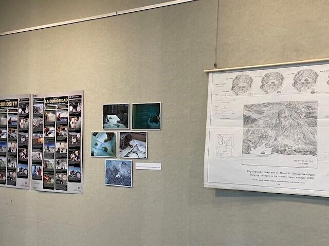
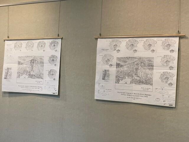
The exhibit featured original newspaper clippings, publications, and photographs taken during the 1980 eruption. Physiographic diagrams showing changes in its summit crater in the years following the eruption were borrowed from the Library's physical collections, as were many maps showing the surrounding areas both before and after the eruption. Digital elevation models showing changes of the lava dome in the crater were provided by geographers at the USGS Cascades Volcano Observatory, as were a series of posters highlighting volcanic ash hazards, the likelihood of future eruptions, volcanic landslides, the ongoing measuring of Cascades volcanoes, and the legacy of Mt. St. Helens on volcano science.


Artifacts on loan from the USGS Natural Hazards Mission Area for the exhibit included a container of volcanic ash taken from the site of the eruption, a partially molten lava "breadcrust bomb" fragment, framed photographs of Mount St. Helens taken before and during the eruption, and a photogrammetry buoy that was melted and embedded with volcanic rocks during the blast.
The exhibit also included a slideshow of original photographs taken by USGS scientists in the aftermath of the eruption, a 3D elevation model of Hoquiam, Washington, showing the pre-eruption topography, and an interactive USGS Open-File Report titled "Make Your Own Paper Model of a Volcano.”