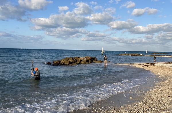
U.S. flag

An official website of the United States government

Multimedia

Videos

Lake Powell - Topobathymetric Digital Elevation Model

This video is a three-dimensional (3D) view of Lake Powell topobathymetric digital elevation model, which consists of topography (land elevation) and bathymetry (water depth). The 3D topobathymetric model was developed by the U.S.

This video is a three-dimensional (3D) view of Lake Powell topobathymetric digital elevation model, which consists of topography (land elevation) and bathymetry (water depth). The 3D topobathymetric model was developed by the U.S.