



USGS Illinois River Basin Accumulated Wastewater Dashboard
November 17, 2026
These data and application are provided as part of United States Geological Survey (USGS) research on contaminants in surface waters across the United States and supported by the USGS Water Mission Area Proxies Project.
The datasets used in the accumulated wastewater dashboard (Miller and others, 2026) were obtained from the USGS and the U.S. Environmental Protection Agency (USEPA).
Media
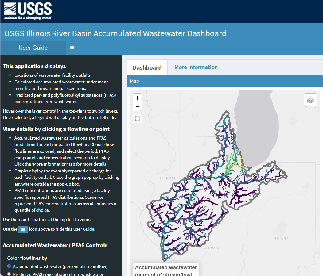
Sources/Usage: Public Domain. View Media Details
Related

Proxies Project
The Proxies Project is a series of studies to improve our understanding of water contaminants and water quality hazards. These studies develop models and technical approaches for estimating concentrations and assessing risk associated with: - harmful algal blooms (HABs) - per- and polyfluoroalkyl substances (PFAS) - 12 elements of concern (EoC)
Related
Proxies Project
The Proxies Project is a series of studies to improve our understanding of water contaminants and water quality hazards. These studies develop models and technical approaches for estimating concentrations and assessing risk associated with: - harmful algal blooms (HABs) - per- and polyfluoroalkyl substances (PFAS) - 12 elements of concern (EoC)