Examples of USGS Products
The U.S. Geological Survey (USGS) publications represent various scientific information and results and are tailored to audiences. Each of the series serves a specific purpose. All reports in the series must follow the USGS Fundamental Science Practices and Visual Identity System requirements. The Science Publishing Network is the sole source for publishing in the USGS publication series.
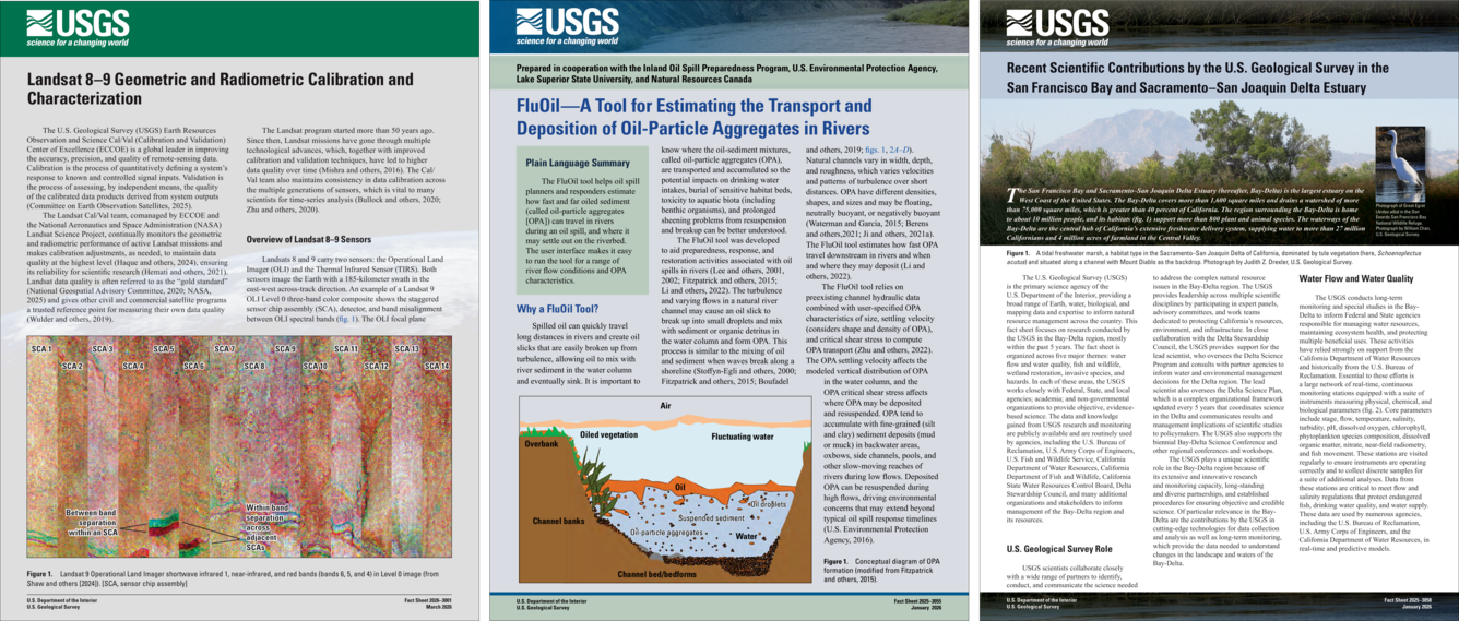
Fact Sheets
Fact sheets are used to present a wide variety of topics to the public and science professionals in a condensed format of one to four pages. These products may be used to summarize or publicize results of previously published reports or provide new information about programs and services and are written in plain language with graphics.
Fact Sheet 2026–3001 | Fact Sheet 2025–3055 | Fact Sheet 2025–3058
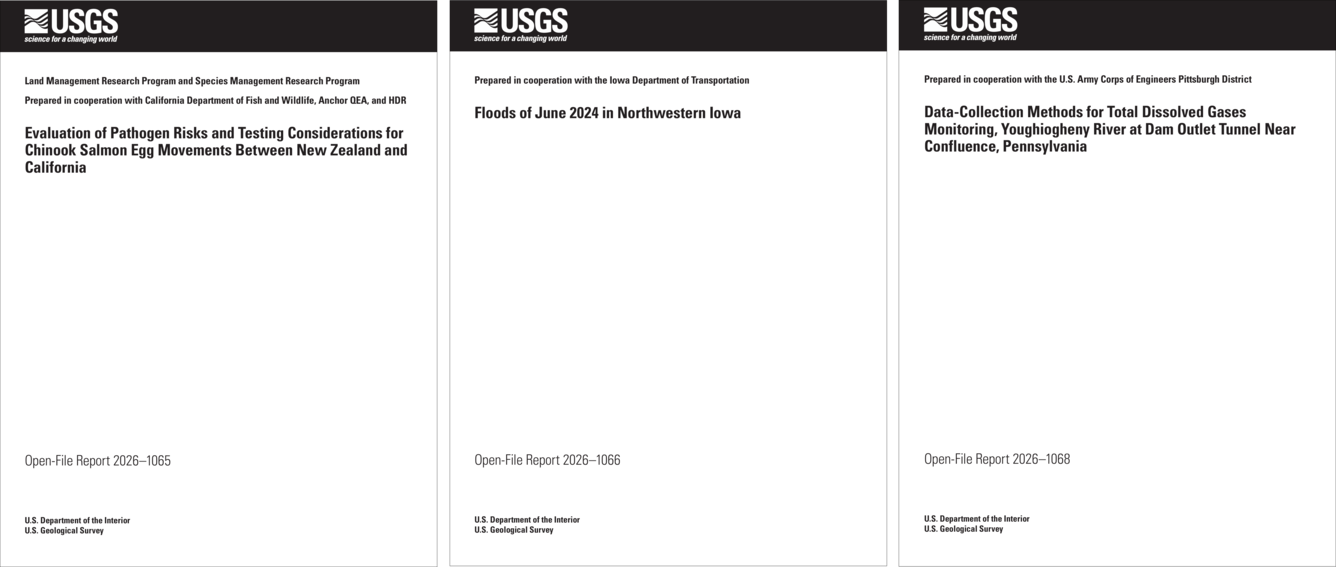
Open-File Reports
Open-file reports are used as a limited-use series to be used for the dissemination of information that must be released immediately to fill an urgent public need or information that is preliminary or provisional in nature and will be superseded by a final product in another publication series, such as other USGS series or an outside publication. Open-file reports are not intended to be of lasting scientific importance.
Open-File Report 2026–1065 | Open-File Report 2026–1066 | Open-File Report 2026–1068
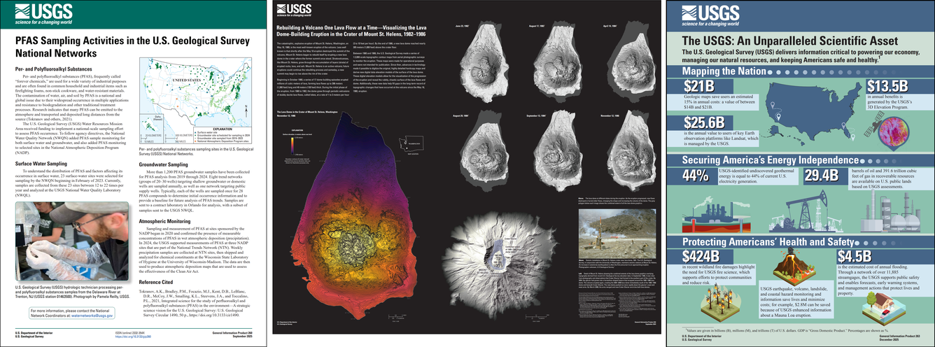
General Information Products
General information products are written in plain language and are about Earth, water, and biological science topics of interest to the general public. These products are not used to release new interpretative information of data and can focus on USGS programs, projects, and services in a variety of media and formats.
General Information Product 260 | General Information Product 262 | General Information Product 263
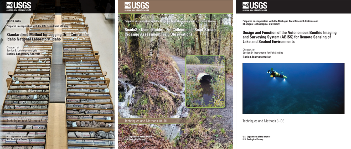
Techniques & Methods
Techniques and methods reports are used to describe approved scientific and data-collection procedures and standard methods for planning and executing studies, laboratory analyses, and modeling and simulation processes. This series contains manuals that describe approved procedures for planning and executing field and laboratory studies in scientific investigations, such as collecting, analyzing, and processing hydrologic data.
Techniques and Methods 5-E1 | Techniques and Methods 18-B1 | Techniques and Methods 8-D3
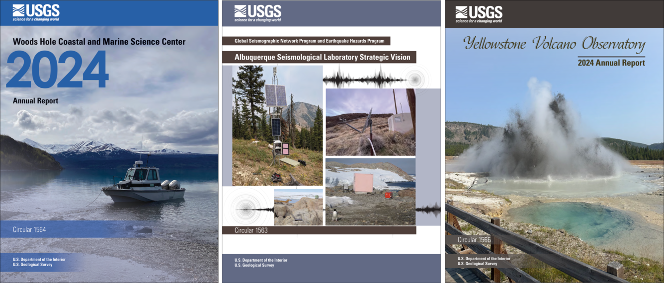
Circulars
Circulars are of wide interest to nonscientists and cover a wide variety of topics that explain processes, issues, or USGS programs and projects and are written in plain language. Circulars include a wide variety of scientific topics related to the mission of the USGS. Often times they demonstrate how science can address issues of public interest and inform public policy, but they do not present new scientific information or data.
Circular 1564 | Circular 1563 | Circular 1566
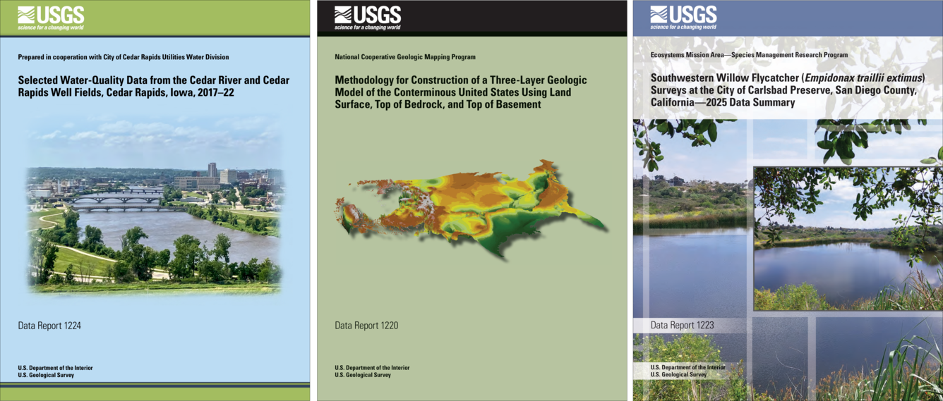
Data Reports
Data reports (former data series) are used for extended textual descriptions of datasets or databases that go beyond the minimally required metadata. The associated dataset or database itself is released separately as a data release from an acceptable USGS digital repository. This series is not to be used instead of a data release. Examples of interpretive information may include analysis of the data and conclusions. Other more specific examples for this series include noninterpretive and interpretive extended descriptions of digital content, such as scientific video, multimedia, photographs, or software manuals and documentation, where the actual content is released separately.
Data Report 1224 | Data Report 1220 | Data Report 1223
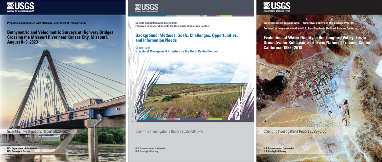
Scientific Investigations Reports
These products are used to release new scientific or technical information of a limited scope that contains significant interpretations and are of lasting scientific importance but generally are narrower in scientific scope or geographic coverage. This series includes general manuals, field trip guidebooks, road logs, proceedings and abstracts for USGS-sponsored meetings, and general reference materials.
SIR 2026–5124 | SIR 2025–5018–A | SIR 2025–5105
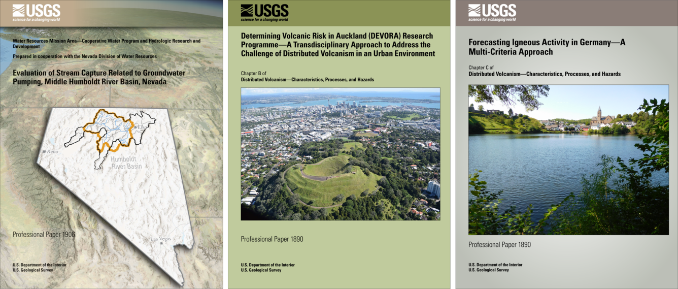
Professional Papers
The professional paper series is the premier series of the USGS to share new scientific or technical information with science professionals. They are thorough in scope and coverage and have lasting interest and scientific importance.
Professional Paper 1906 | Professional Paper 1890–B | Professional Paper 1890–C
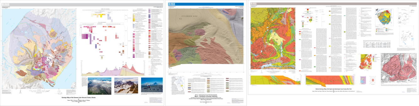
Scientific Investigations Maps
The scientific investigations map series are used for scientific results of studies presented as black-and white or multicolor maps. Maps may be accompanied by companion pamphlets. These maps contain diverse subjects such as geology, bathymetry, vegetation, landforms, hydrology, land classification, map projections, distribution of species, as well as maps of the Moon, planets, and other satellites. Maps and pamphlets may include additional descriptive information and graphical presentations that are not maps, such as descriptions of map units, correlation charts, cross sections, block diagrams, tables, photographs, or other illustrations. This series may be a collection of related maps addressing different aspects of a single geographic area or scientific topic, issued separately, or as a set.
Scientific Investigations Map 3519 | Scientific Investigations Map 3544 | Scientific Investigations Map 3542