September 18, 2024—Kīlauea middle East Rift Zone eruption glow visible from Chain of Craters Road
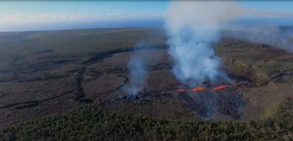
September 18, 2024—Kīlauea middle East Rift Zone eruption glow visible from Chain of Craters RoadDuring the evening of September 18, the glow from the middle East Rift Zone eruption of Kīlauea was visible from the Keauhou Trail pull-off within Hawaiʻi Volcanoes National Park. USGS photo by K. Mulliken.