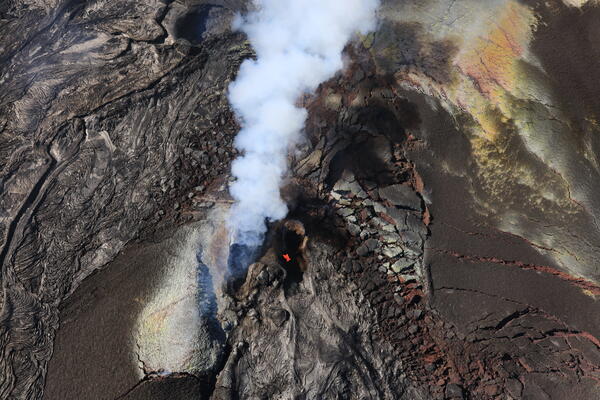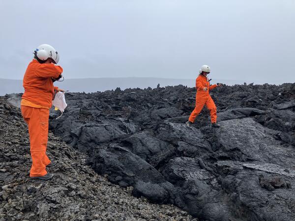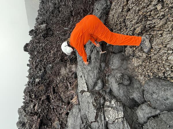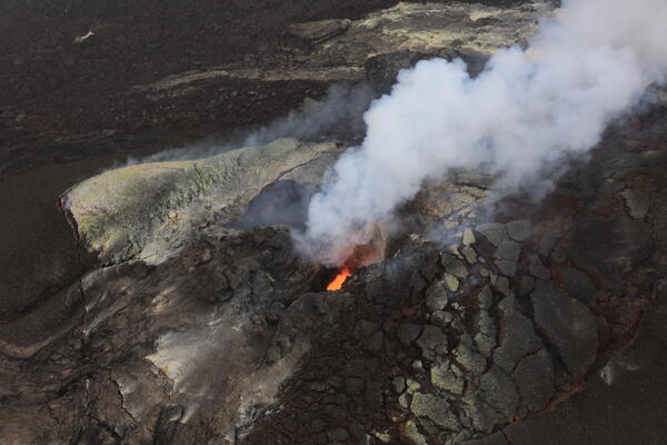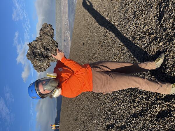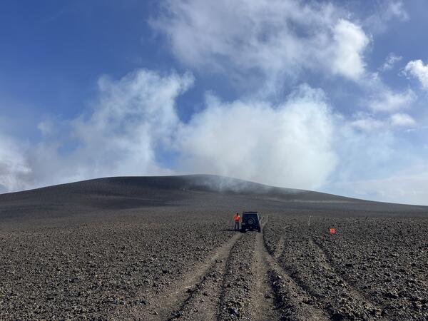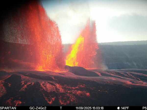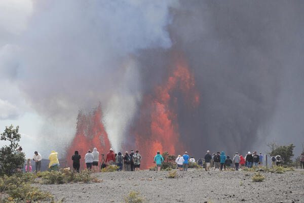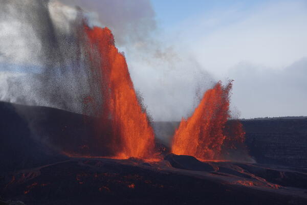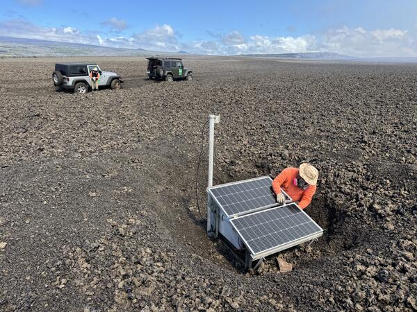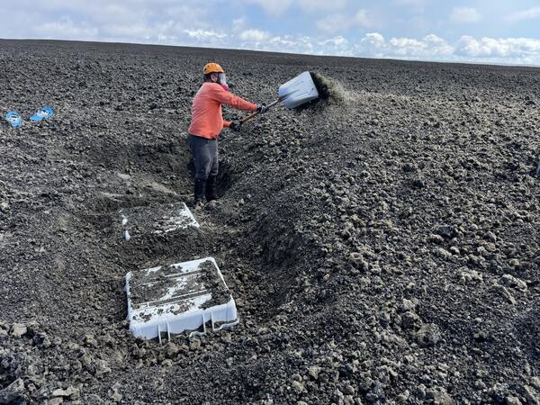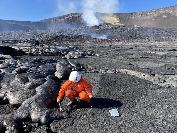
November 24, 2025 — Geologist collects sample within Halema‘uma‘u
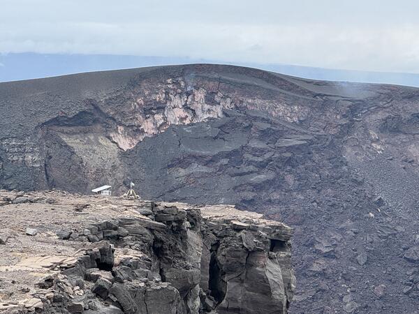
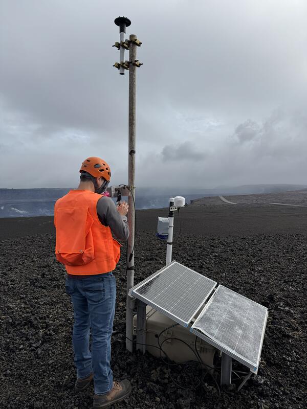
November 24, 2025 — Geologist collects sample within Halema‘uma‘uOn November 24, a USGS Hawaiian Volcano Observatory helicopter overflight was able to land on the floor of Halema‘uma‘u crater for scientists to collect a sample of cooled lava from a recent overflow of the Kīlauea summit eruptive vents.