
Photo and Video Chronology - Kīlauea - August 1, 2018
By Kīlauea
August 1, 2018
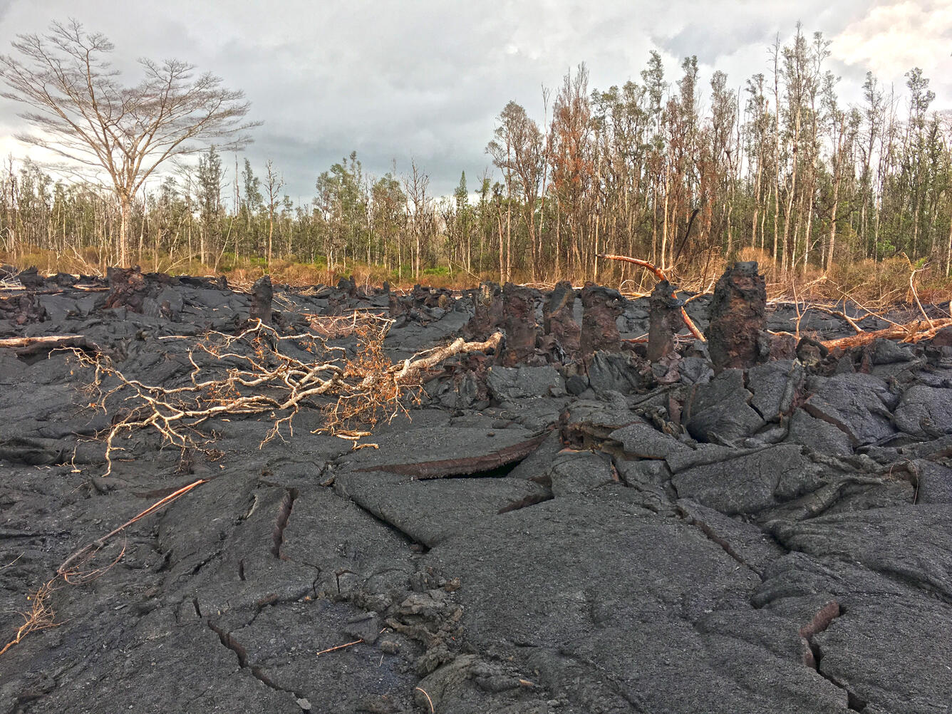
Kīlauea lower East Rift Zone
Media

Sources/Usage: Public Domain. View Media Details
Media

Sources/Usage: Public Domain. View Media Details
Media

Sources/Usage: Public Domain. View Media Details
Media
Sources/Usage: Public Domain. View Media Details
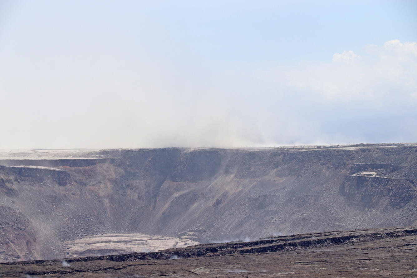
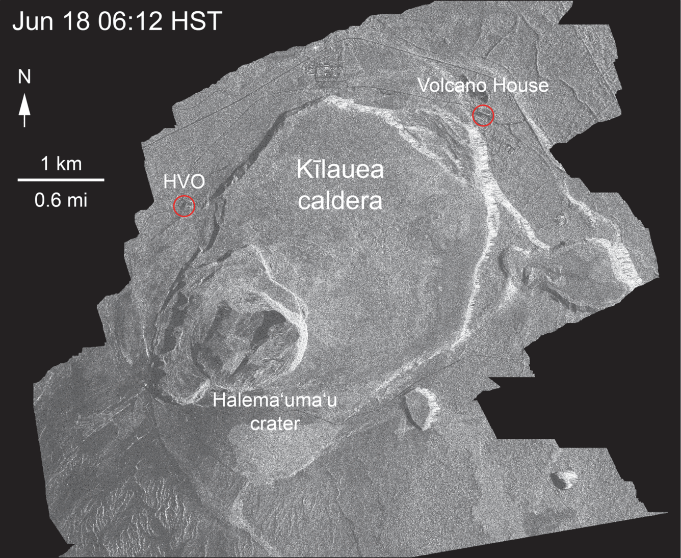
Kīlauea Summit
Media

Sources/Usage: Public Domain. View Media Details
Media
Sources/Usage: Public Domain. View Media Details
Media
Sources/Usage: Public Domain. View Media Details