U.S. flag

An official website of the United States government

July 21, 2023

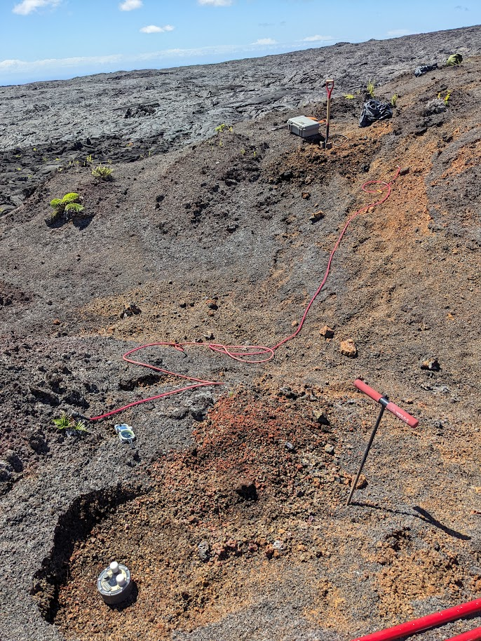
During July, USGS staff are deploying temporary instruments to collect ground-based magnetotelluric (MT) data to image structure and fluids beneath the surface of Kīlauea.

The project is funded by the Additional Supplemental Appropriations for Disaster Relief Act of 2019 (H.R. 2157), which provided the USGS HVO with funds to conduct scientific investigations of the current state of Kīlauea. This project has been permitted by Hawai‘i Volcanoes National Park.

Scientist tests intrument in the field
USGS scientists are deploying temporary sites on Kīlauea during July to conduct magnetotelluric (MT) sounding. At each site, electrodes and wire coils buried at shallow depths will passively measure the electromagnetic (EM) energy generated by lightning strikes around the equator. The electrode is encapsulated in a canvas bag filled with bentonite, and water is poured in the electrode hole to improve the contact resistance. You can learn more about the project in this “Volcano Watch” article: https://www.usgs.gov/observatories/hvo/news/volcano-watch-playing-wire-upcoming-surveys-reveal-kilaueas-inner-workings. USGS photo by M. Cappos. 
Color photograph of scientist checking field site
USGS staff are deploying temporarily instruments to collect ground-based magnetotelluric (MT) data to image structure and fluids beneath the surface of Kīlauea. This photo shows a scientist checking the magnetometer at a site. Comparison to similar datasets collected prior to the 2018 lower East Rift Zone eruption and summit collapse of Kīlauea will highlight any changes. USGS photo by M. Cappos. 
Color photograph of scientist in the field
A USGS geophysicist measures contact resistance on electrodes at a temporary magnetotelluric site. The electrodes require electrical contact with the ground and are buried in shallow holes about the width and depth of a spade head. Data collected by the instruments will help to image the structure and fluids beneath the surface of Kīlauea. This project has been permitted by Hawai‘i Volcanoes National Park and is funded by the Additional Supplemental Appropriations for Disaster Relief Act of 2019 (H.R. 2157). USGS photo by M. Cappos. 
Color photograph of instrument being deployed in the ground.
During July, HVO staff and collaborators install temporary instruments to collect magnetotelluric (MT) data on Kīlauea. At each location, electrodes, induction-coil magnetometers, and data loggers are deployed for about a month. This photo shows a magnetometer in the foreground being buried in a narrow and shallow trench to minimize wind noise. The electrode is connected to a data logger, located in a grey box in the background.  Electrode lines run orthogonally out from the site center to distances of approximately 50 m (164 ft). USGS photo by M. Cappos.

Get Our News

These items are in the RSS feed format (Really Simple Syndication) based on categories such as topics, locations, and more. You can install and RSS reader browser extension, software, or use a third-party service to receive immediate news updates depending on the feed that you have added. If you click the feed links below, they may look strange because they are simply XML code. An RSS reader can easily read this code and push out a notification to you when something new is posted to our site.