An official website of the United States government
Here's how you know
Official websites use .gov
A .gov website belongs to an official government organization in the United States.
Secure .gov websites use HTTPS
A lock () or https:// means you’ve safely connected to the .gov website. Share sensitive information only on official, secure websites.
Aerial view of the fissure 8 lava channel on Kīlauea Volcano's lower East Rift Zone in the vicinity of the Kapoho cone, with fissure 8 fountains visible in the distance (upper left). Helicopter overflights of the eruption site are routinely scheduled to check for any new outbreaks of lava and to collect GPS data on the active flow—information that's needed to make the flow field maps that are posted on HVO's website.
Three closely spaced lava fountains at fissure 8 continue to feed a channelized flow trending north and then east to the ocean entry at Kapoho Bay. This video is from an HVO helicopter overflight of the braided lava channel this morning around 6:30 a.m. HST. Minor overflows of the channel levees have occurred at several places along the channel, but have been short-lived and do not pose an immediate threat to areas not previously covered by lava.
The three closely spaced lava fountains at fissure 8 reached maximum heights of 115-130 feet overnight. Lava fragments falling from the fountains are building a cinder-and-spatter cone around the erupting vent, with the bulk of the fragments falling on the downwind side of the cone. Fissure 8 continues to feed a channelized lava flow that reaches the ocean at Kapoho.
The interaction of molten lava flowing into cool seawater causes pulsating "littoral explosions" that throw spatter (fragments of molten lava) and pieces of solidified glassy lava (black sand, Pele's hair, limu o Pele) high into the air. In this aerial view of the Kapoho ocean entry, these dark-colored lava particles are blasted skyward through billowing white clouds of seawater steam (laze). Ocean entry littoral explosions can create hazardous conditions both on land and at sea, because the lava fragments can be thrown far inland, as well as seaward.
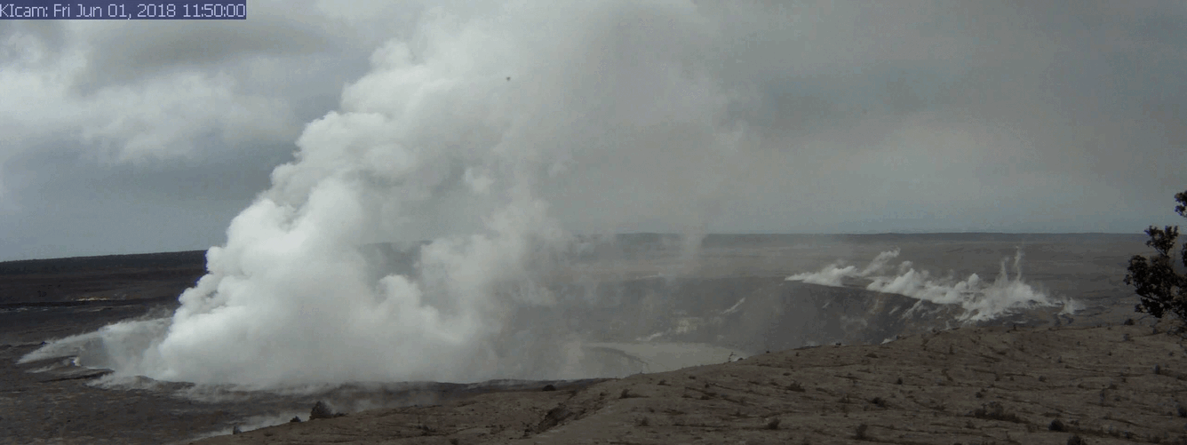
A series of wide-angle webcam images, captured by a camera in HVO's observation tower (https://volcanoes.usgs.gov/volcanoes/kilauea/multimedia_webcams.html) between June 1 and June 10, 2018, show ongoing subsidence around Halema‘uma‘u at the summit of Kīlauea in this animated GIF.
This 'warped-curb' crack, the largest in the parking area for the former Halema‘uma‘u overlook (closed since 2008), is one of many that have sliced the parking area into slices. Ballistics (blocks of solid rock) strewn across the area are visible in the foreground. Loose, dislodged blocks along this crack have not moved in at least the past 30 hours. This photo was taken today (June 11); additional photos and information about this area were posted on June 7.