
Photo and Video Chronology - Kīlauea - June 30, 2018
By Kīlauea
June 30, 2018
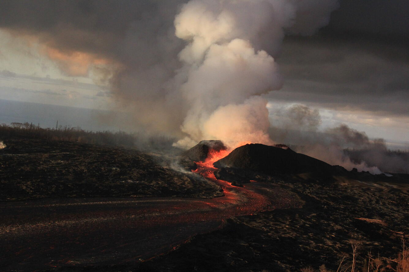
Activity continues in Kīlauea Volcano's lower East Rift Zone
Media
Sources/Usage: Public Domain. View Media Details
Media

Sources/Usage: Public Domain. View Media Details
Media

Sources/Usage: Public Domain. View Media Details
Media

Sources/Usage: Public Domain. View Media Details
Media

Sources/Usage: Public Domain. View Media Details
Media

Sources/Usage: Public Domain. View Media Details
Small rockfalls at Kīlauea Volcano's summit
Media

Sources/Usage: Public Domain. View Media Details