An official website of the United States government
Here's how you know
Official websites use .gov
A .gov website belongs to an official government organization in the United States.
Secure .gov websites use HTTPS
A lock () or https:// means you’ve safely connected to the .gov website. Share sensitive information only on official, secure websites.
At 8:00 a.m. HST. A slow sticky a'a flow emerges from a new fissure just over a half mile north east of Hinalo Street. The new fissure is about one half mile south of Hwy 132. This fissure has been named fissure 17. Some reports have referred to this fissure as number 18 but that is not correct. Fissure 18 has not opened at this time.
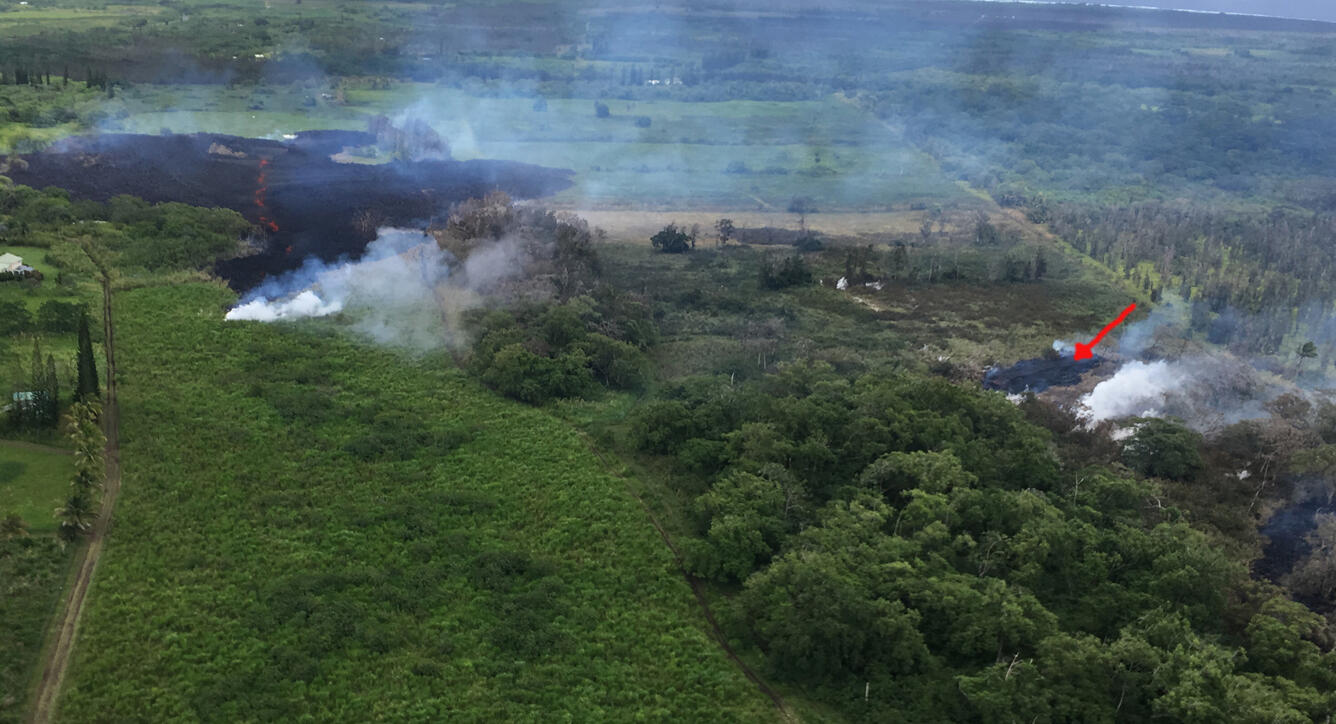
At 2:00 p.m. HST. This photo reveals a small pad of lava between Fissures 16 and 17 which did not appear in the same scene taken this morning. (Red arrow points to the lava pad.) From the photo it appears that this fissure has stagnated. We have designated this small outbreak as Fissure 18.
Aerial view of fissure 17 around 4:30 p.m. HST. On the west end of the flow, intermittent percussive jetting threw spatter and lava bombs up to 500 feet above the ground. East margin of the ‘a‘ā flow was cascading into a pit or graben.
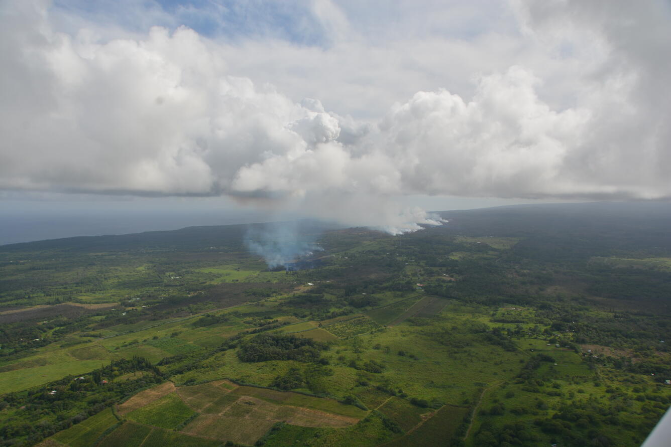
At 2:56 p.m. HST. Aerial photo of fumes from fissures and an active ‘a‘ā flow, blown southward during tradewind conditions. This view is looking toward the west. Photo courtesy of Civil Air Patrol (CAP).
At 2:54 p.m., HST. Aerial photo of the fissures and associated plumes. This view is toward the east. The CAP mission was launched from Hilo in support of Hawai‘i County Civil Defense and USGS Hawaiian Volcano Observatory response to the ongoing eruption.