U.S. flag

An official website of the United States government

May 19, 2022

An eruption at Kīlauea's summit began at approximately 3:20 p.m. HST on September 29, 2021. Lava activity is confined within Halema‘uma‘u crater, in the closed area of Hawai‘i Volcanoes National Park.

HVO scientists collect detailed data to assess hazards and understand how the eruption is evolving at Kīlauea's summit, all of which are shared with the National Park Service and emergency managers. Access to this hazardous area is by permission from, and in coordination with, Hawai‘i Volcanoes National Park.

May 18, 2022 — Kīlauea Summit Eruption

Color photograph of active lava
The feature shown in the photograph is a drainage outlet for the active lava lake of Halema‘uma‘u, a crater within the summit caldera of Kīlauea volcano. Surface plates from the active lake surface are dragged into the outlet and churned up. A small standing wave, about 1 meter or 1 yard tall, is present in the center of the outlet structure. This photograph was taken during an observational field shift during the morning of May 18, 2022. USGS photograph by L. Gallant.
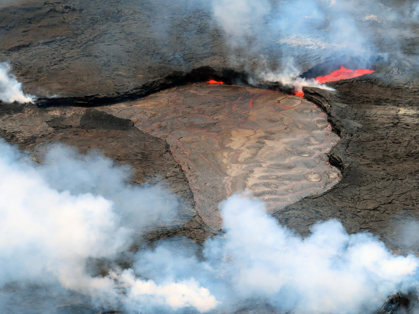
Color photograph of lava lake
A view of the active lava lake within Halema‘uma‘u, taken during a Kīlauea summit monitoring field shift on the morning of May 18, 2022. The active lake is draining into the small pond on the right of the photograph. Spattering along the margins of the lake is common, seen here in the center of the photograph. This activity is accompanied by loud whooshing and roiling noises that are sometimes audible from the Keanakāko‘i public overlook. USGS photograph by L. Gallant.
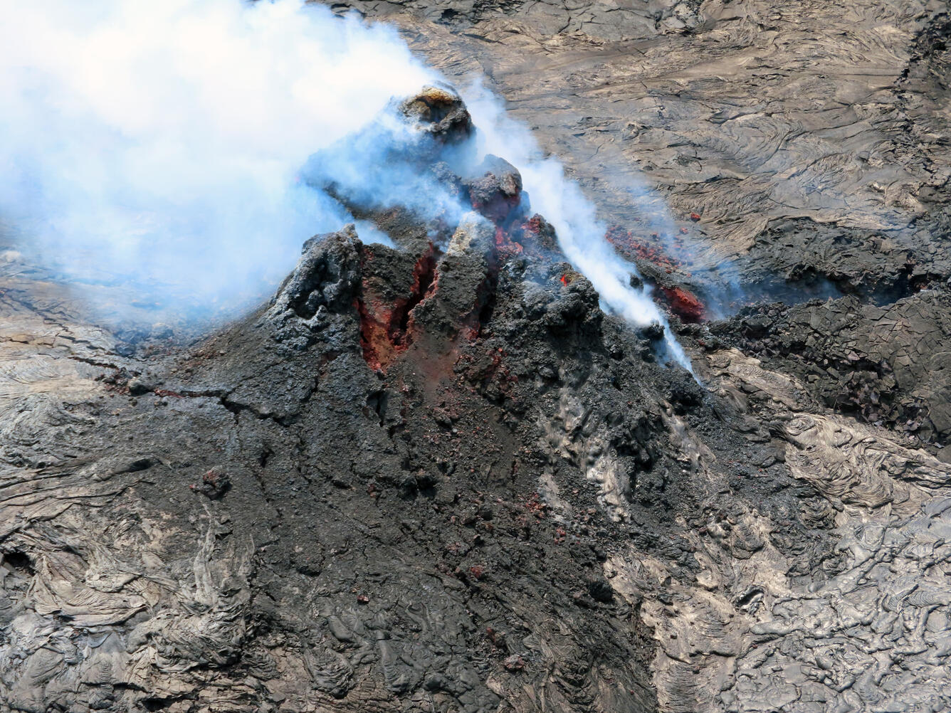
Color photograph of volcanic vent
The vent within Halema‘uma‘u, at the summit of Kīlauea, was degassing during a field observation visit on the morning of May 18, 2022. The vent is 56 feet tall (17 meters) and has a small puka (hole) visible with bright red glowing lava within on the right side of the photograph. Throughout the eruption, the cone has gone through several cycles of growth and collapse. The growth is driven by successive accumulation of spatter and lava flows (like the silvery smooth ones on the right side of the picture) whereas the collapses are driven by failures along weaknesses in the structure, like the large cracks visible on the cone in this photo. USGS photograph by L. Gallant.

Get Our News

These items are in the RSS feed format (Really Simple Syndication) based on categories such as topics, locations, and more. You can install and RSS reader browser extension, software, or use a third-party service to receive immediate news updates depending on the feed that you have added. If you click the feed links below, they may look strange because they are simply XML code. An RSS reader can easily read this code and push out a notification to you when something new is posted to our site.