
Landsat Update October 2021
Landsat Updates are prepared periodically and distributed electronically to provide information about Landsat activities and related topics of interest.
Subscribe to receive future Landsat Updates in your email
In this issue…
- Landsat 9 Reaches Orbit
- Pecora 22: Celebrating 50 years of Landsat
- Landsat Collection 2 Analysis Ready Data
- Collection 1 Forward Processing Termination
- Landsat Science Team Meeting
- Landsat 7 End of Life
- Decommissioning of Historic Prototype Viewers
- Upcoming Meetings and User Conferences
- Data Access
- Connect/Interact/Contact
Landsat 9 Reaches Orbit, Makes Ground Contact to Continue Legacy
Landsat 9 is functioning as expected after its successful launch at 1:12 p.m. CT Monday, September 27, 2021 from Vandenberg Space Force Base to join its two predecessors in orbit.

The Earth-observing satellite separated from the Atlas V rocket at 2:34 p.m. and made contact about 80 minutes later with the ground station at Svalbard, Norway.
“Landsat 9 is the first mission of the USGS-NASA Sustainable Land Imaging (SLI) partnership, delivering the long-awaited first installment of a multi-decadal commitment to sustaining Landsat continuity for hundreds of thousands of users in the U.S. and across the globe,” said Tim Newman, program coordinator for the USGS National Land Imaging Program.
NASA is currently testing and evaluating the on-orbit performance characteristics of the spacecraft’s operating and mission-specific systems. After approximately 100 days post-launch, when NASA has ensured everything is working properly, it will turn the satellite over to the USGS.
“We’re very excited by the increase in capability Landsat 9 delivers to our users and eager to take operational control of the mission once we finish our on-orbit checkout with NASA,” Newman said.
Newman also looks ahead to the advancements of the satellite that will follow. “With Landsat 9 safely in orbit, our SLI development program focus shifts now to its next major project—Landsat Next, which is well underway and should revolutionize the capability we deliver to our users.”
Read more in this recent USGS Headline.
Pecora 22: Celebrating 50 Years of Landsat

The 22nd William T. Pecora Memorial Remote Sensing Symposium (Pecora 22) will be held October 23–28, 2022, in Denver, Colorado, USA.
In celebration of the 50th anniversary of the launch of the first Landsat satellite, Pecora 22 will focus on all aspects of Earth observation from scientific discoveries to operational applications. Discussion topics will range from satellite sensor characterization to policy decisions and everything in between.
The conference theme, “Opening the Aperture to Innovation: Expanding Our Collective Understanding of a Changing Earth”, embraces the innovations and discoveries that resulted from 50 years of Landsat Earth observations. Plans for this conference also explore current and potential innovations in science and technology that contribute to improvements of our understanding and management of the Earth’s environment.
Important Upcoming Dates
- Call for Abstracts October 15, 2021
- Abstracts Due February 15, 2022
- Preliminary Program Notification March 2022
- Paper deadline May 31, 2022
- Final Program July 22, 2022
- Conference October 23-27, 2022
Visit the Pecora 22 web page for all the important details about this upcoming event.
Landsat Collection 2 Analysis Ready Data
Landsat Collection 2 (C2) Analysis Ready Data (ARD) are now available to download from the USGS EarthExplorer. C2 ARD are tiled, georegistered, top of atmosphere, and atmospherically corrected products defined in a common projection that make the Landsat archive more accessible, easier to analyze, and reduce the amount of time users spend on data processing for time-series analysis.
Landsat C2 U.S. ARD is available for the conterminous United States (CONUS) (1982-present), Alaska (1984-present) and Hawaii (1989-1993 and 1999-present) using Landsat C2 Level-1 data processed into Albers-projected Level-2 Surface Reflectance and Surface Temperature products from the following Landsat sensors and processing tiers:
- Landsat 9 Operational Land Imager (OLI)/ Thermal Infrared Sensor (TIRS) – Tier 1, Tier 2 coming soon
- Landsat 8 Operational Land Imager (OLI)/ Thermal Infrared Sensor (TIRS) - Tier 1, Tier 2
- Landsat 7 Enhanced Thematic Mapper Plus (ETM+) - Tier 1
- Landsat 4-5 Thematic Mapper (TM) - Tier 1
Learn more about Landsat Collection 2 ARD here: Landsat Collection 2 U.S. Analysis Ready Data.
Landsat Collection 1 Forward Processing Termination
Landsat Collection 1 based forward processing remains in effect through December 31, 2021, concurrent with Landsat Collection 2 based forward processing. Starting January 1, 2022, all new Landsat acquisitions, will process to Collection 2 products only. Landsat 9 data will only be available as Collection 2 products.
Users are encouraged to migrate their workflow from Landsat Collection 1 to Landsat Collection 2 at their earliest convenience. Due to advancements in data processing and algorithm development, users are discouraged from using Collection 1 and Collection 2 interchangeably within the same workflow.
Collection 1 products will remain available for search and download from EarthExplorer through December 31, 2022.
Landsat Science Team Meeting
On July 22, 2021, the Landsat Science Team met virtually to hear from NASA and the USGS on the readiness of supporting systems for the upcoming launch of Landsat 9, which is scheduled to launch from Vandenberg Space Force Base on Monday, September 27, 2021.
The team received updates from NASA regarding the Landsat 9 space segment, along with the USGS ground segment and mission operation status. Plans for post-launch data assessments and on-orbit initialization and verification (OIV) activities were also discussed. The team was also briefed on the many community engagement activities that took place in Lompoc, California, the week of September 27, 2021.
Finally, the USGS shared details regarding the status of the Landsat 7 mission.
Visit this Landsat Science Team page to view the day’s agenda and access the presentations.
Decommissioning of Historic Prototype Viewers
On October 14, 2021, the USGS retired the LandsatLook 1.0 and Sentinel2Look prototype viewers.
For Landsat Collection 2 products, users are encouraged to use the new LandsatLook 2.0. The new tool allows rapid online visualization and access to the Landsat archive. It also enables users to create dynamic custom mosaics using three band combinations, to select spectral indices, and to perform quality assessment band filtering.
Landsat Collection 1, Landsat Collection 2, and Sentinel-2 data continue to be available for download via EarthExplorer.
Landsat 7 End-of-Life
On February 7, 2017, the twentieth and final inclination (Delta-I) maneuver of Landsat 7 took place. Delta-I maneuvers keep the spacecraft in the correct orbital position to ensure it maintains its 10:00 a.m. ± 15 minutes mean local time (MLT) equatorial crossing. Landsat 7 reached its peak outermost inclination boundary of 10:14:58 MLT on August 11, 2017.
The chart below illustrates the inclination trend from June 2014 to June 2026. By the end of 2021, the projected MLT will be 9:00 am.

The USGS and NASA are planning for Landsat 7 to remain on-station and fulfilling its current science mission until Landsat 9 completes its on-orbit checkout and commissioning. Shortly after Landsat 9 begins nominally acquiring science mission data, Landsat 7 will exit the constellation and lower its orbit by 8 km to prepare for potential servicing by the NASA On-Orbit Servicing, Assembly, and Manufacturing-1 (OSAM-1) mission. The mission will provide Landsat 7 with the needed fuel for a successful decommissioning.

Upcoming Meetings and User Conferences
- American Geophysical Union, December 13 – 17, 2021, New Orleans, LA, Virtual
- AAG Annual Meeting, February 25 – March 1, 2022, New York City, NY
- Pecora 22, October 23 – 27, 2022, Hilton City Center, Denver, CO
Landsat Data Access
Landsat data products held in the USGS archives can be searched and downloaded at no charge from a variety of data portals. Learn more about how to access Landsat Collection 2 and Landsat Collection 1 Level-1 and Level-2 science products at Landsat Data Access.
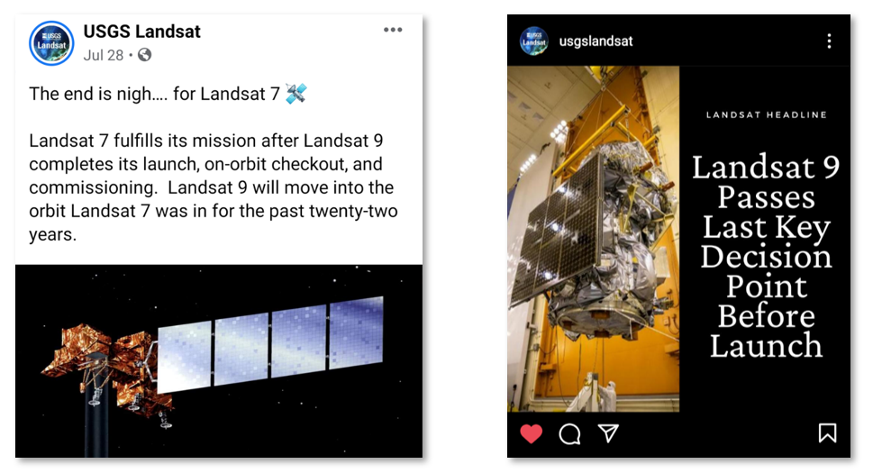
Recent Popular Social Media
Connect/Interact/Contact
USGS EROS Customer Services
Email: custserv@usgs.gov
Phone: 1-800-252-4547