



FORT Science in Action 2026, Part 1: Integrating aquatic invasive species data into a national invasive species management tool
Natural resource agencies invest significant time and money in the fight against aquatic nuisance species that damage waterways. In 2026, FORT researchers developed habitat suitability estimates of 103 freshwater invasive species, to assist natural resource managers in maintaining clean, quality water across the U.S.
Aquatic nuisance species, like the zebra mussel, pose a major threat to habitats and the communities that depend on them. Through the alteration of normal ecosystem functions, they significantly reduce water quality, impairing commercial, agricultural, and recreational uses of American waterways. Fighting against these invaders is costly; by 2020, US federal and state agencies had spent close to \$600 million fighting a single species, the invasive carp. Resource managers need tools that can help them fight invasive species before they become a nuisance, reducing potential costs and maintaining water quality for neighboring communities.
The most effective way to fight invasive species is to spot and stop them before they spread to new areas. The Invasive Species Habitat Tool (INHABIT) aims to assist resource managers in doing just that. By mapping suitable habitat for hundreds of invasive species of management interest, INHABIT provides information on where invaders are likely to go next, helping managers prioritize where to focus limited resources.
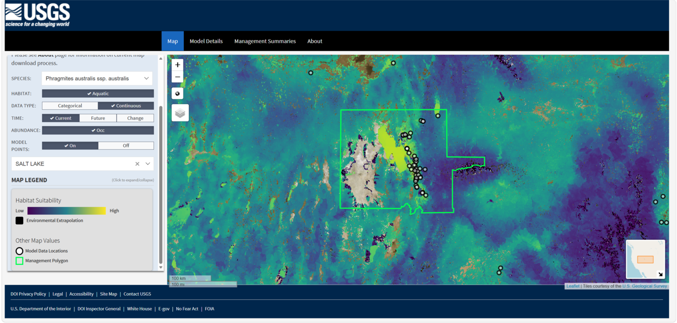
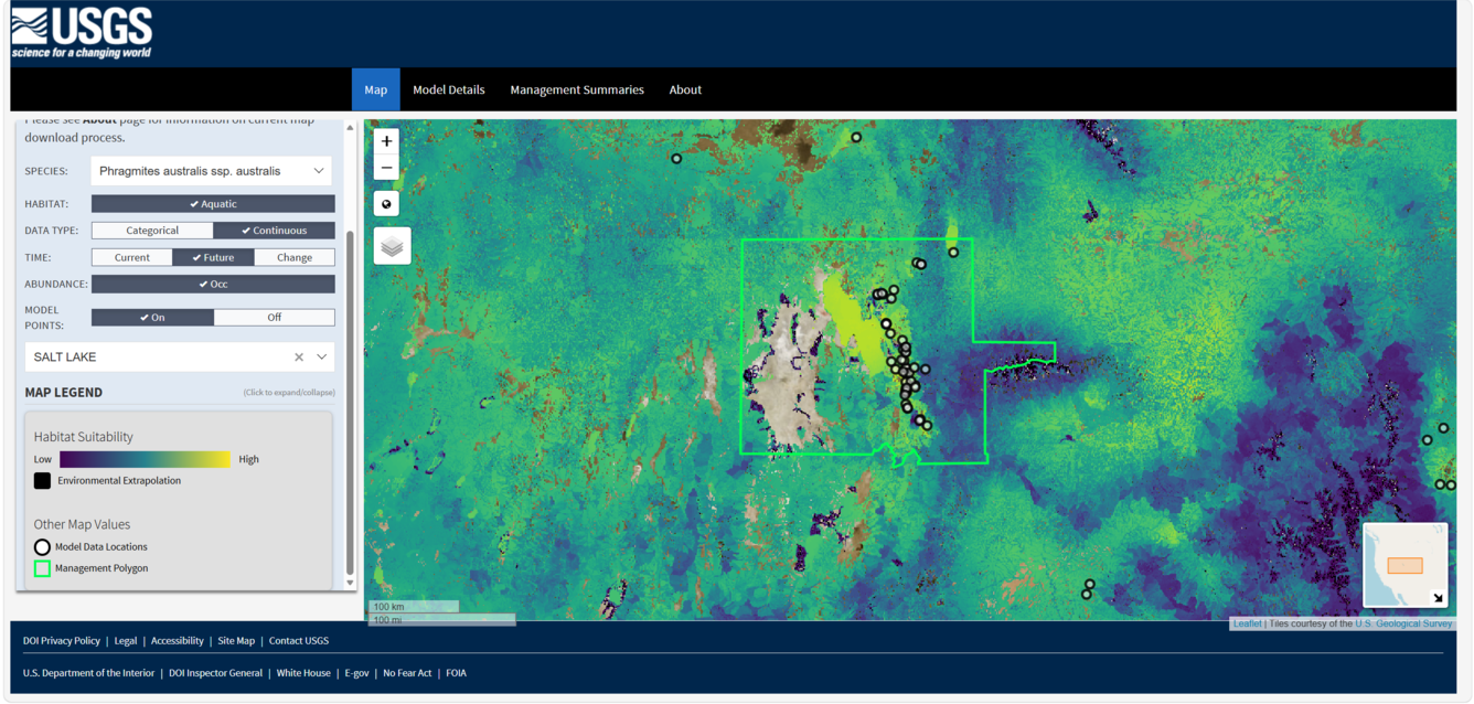
This year, the research team behind INHABIT published new data that can help invasive species managers estimate and predict the spread of 103 aquatic invasive species of management interest in the U.S., including invasive plants, fish, and invertebrates. Modeling habitat suitability for aquatic species across large landscapes is a challenging task. Until recently, there were few standardized, nationwide datasets describing the characteristics of all freshwater environments in the U.S. In 2026, the INHABIT team met this challenge and created such a dataset, combining information on hydrography, soils, temperature, precipitation, land use, land cover and numerous other sources to create a suite of environmental predictors that, all together, can estimate whether habitat is suitable for a species, and how that habitat might change in the future.
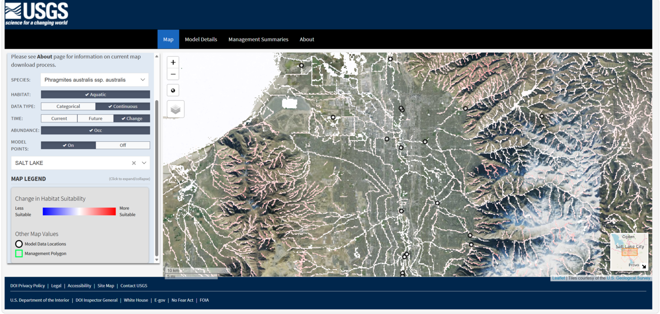
With these predictors, the next task facing the team is integrating the new estimates of habitat suitability for aquatic invasive species into the INHABIT web tool. Currently, 54 aquatic invasive plant species have been added to the tool, where users can map and produce management summaries of current and future habitat suitability for these newly added species. Check it out!
More FORT Science in Action
This September, FORT is highlighting how our science projects support sound decision-making. Each day, we will highlight a new project and its applications. To see more, follow the tabs below.
Related

INHABIT: A web tool for invasive plant management across the contiguous United States
Related