Record Low Water Levels Outlined in 2022 New England Drought Report
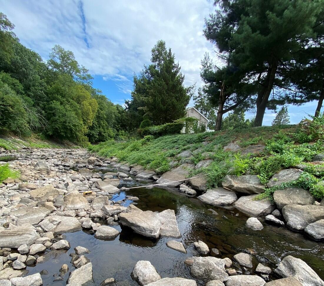
During last summer’s drought, flows at up to 54 out of 78 U.S. Geological Survey (USGS) streamgages and water levels at up to 95 out of 126 USGS groundwater monitoring wells were below normal throughout New England. Drought conditions were most severe in August, when 10 of these streamgages and 16 of these wells recorded 30- and 25- year lows, respectively.
The USGS New England Water Science Center has recently published a report summarizing the groundwater and surface water data collected from April through September 2022 to document the drought conditions.

Below-normal precipitation began in November 2021 and continued through August 2022, prompting streamflows and groundwater levels to drop for an extended period in parts of New England. Rainfall was the lowest from May through August, with Boston recording the driest summer in 138 years. Drought conditions were most severe in Southern New England; the worst conditions were recorded in Massachusetts, Rhode Island, and Connecticut. These low water levels prompted the U.S. Secretary of Agriculture to declare all five of Rhode Island’s counties and two Connecticut counties, New London and Windham, as “primary natural disaster areas” in August. Additionally, sections of Connecticut, Massachusetts, New Hampshire and Rhode Island implemented mandatory water use restrictions.
Low streamflow and groundwater levels from drought are a concern for private and municipal water suppliers; and low streamflows can be harmful to aquatic life. Low surface water levels from drought lead to warmer water, lower dissolved oxygen levels, habitat reduction and concentrated pollutants. Plus, reduced groundwater levels can mean rivers and streams are no longer being ground-fed.
Despite the extremity of the drought conditions last summer, both streamflows and groundwater levels showed evidence of drought recovery in September as precipitation increased.
This report outlines the differences between the 2022 drought and the one that impacted New England in 2020. State-specific appendices in the report include graphs at selected streamgages and monitoring wells comparing the 2020 and 2022 droughts. Click here to read the full report.