
We have installed a webcam at the Yellow River near Snellville to allow you to view, in real time, the current river conditions.
Webcams
Below are the river web cameras of the South Atlantic Water Science Center
Filter Total Items: 47
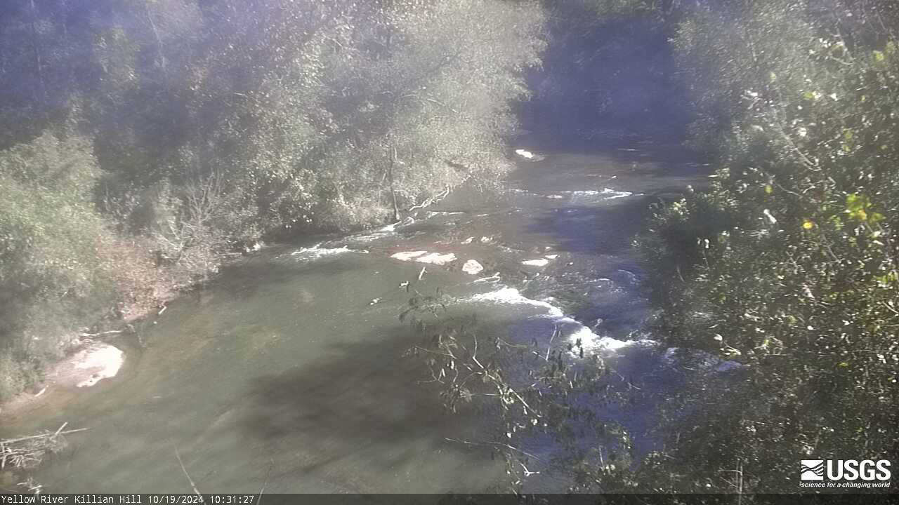
Yellow River near Snellville, GA (02206500)
We have installed a webcam at the Yellow River near Snellville to allow you to view, in real time, the current river conditions.
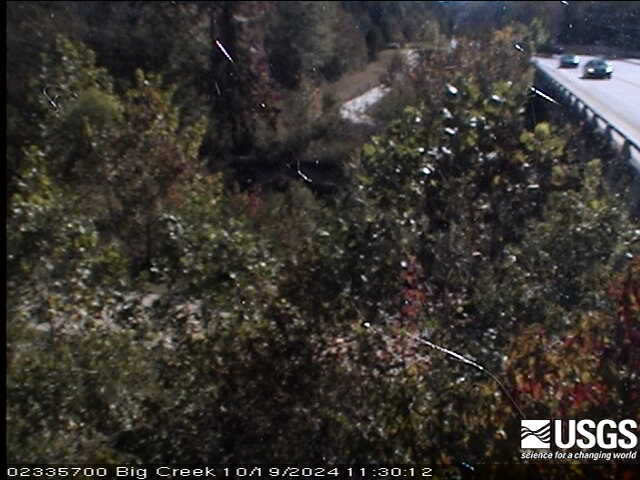
Big Creek near Alpharetta, GA (02335700)
We have installed a webcam at the Big Creek near Alpharetta to allow you to view, in real time, the current river conditions.
We have installed a webcam at the Big Creek near Alpharetta to allow you to view, in real time, the current river conditions.
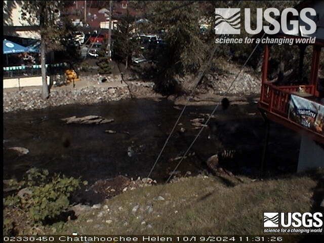
Chattahoochee River at Helen, GA (02330450)
We have installed a webcam at the Chattahoochee River at Helen to allow you to view, in real time, the current river conditions.
We have installed a webcam at the Chattahoochee River at Helen to allow you to view, in real time, the current river conditions.
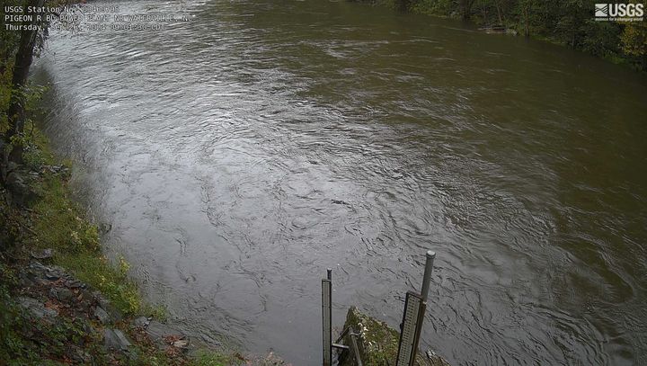
Pigeon River below Power Plant near Waterville, NC
Pigeon River below Power Plant near Waterville, NCLatest image from the webcam at Pigeon River below Power Plant near Waterville, NC. Visit water data details for this location at USGS site number 03460795.
Pigeon River below Power Plant near Waterville, NC
Pigeon River below Power Plant near Waterville, NCLatest image from the webcam at Pigeon River below Power Plant near Waterville, NC. Visit water data details for this location at USGS site number 03460795.
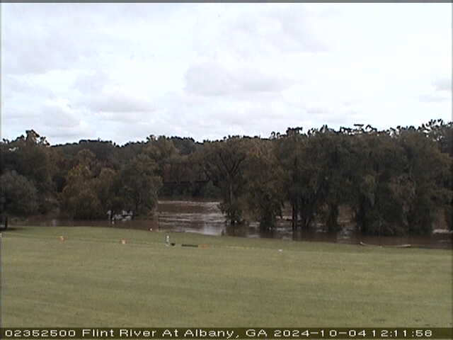
Flint River at Albany (02352500)
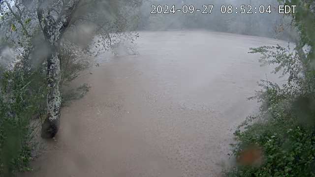
We have installed a webcam at the Flint River at Albany to allow you to view, in real time, the current river-stage conditions.
During periods of flooding, the South Atlantic Water Science Center - Georgia will take control of the camera.
We have installed a webcam at the Flint River at Albany to allow you to view, in real time, the current river-stage conditions.
During periods of flooding, the South Atlantic Water Science Center - Georgia will take control of the camera.

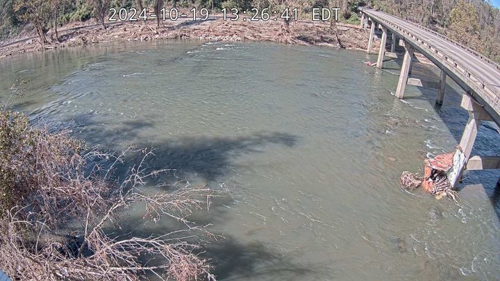
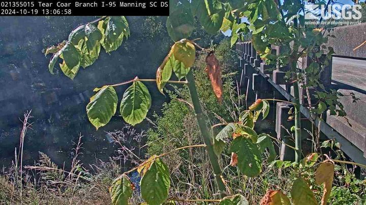
Tearcoat Branch at I-95, near Manning (021355015, Upstream)
Tearcoat Branch at I-95, near Manning (021355015, Upstream)We have installed a webcam at Tearcoat Branch at I-95, near Manning to allow you to view (in real time) the current river-stage conditions.
During periods of flooding, the South Atlantic Water Science Center will take control of the camera.
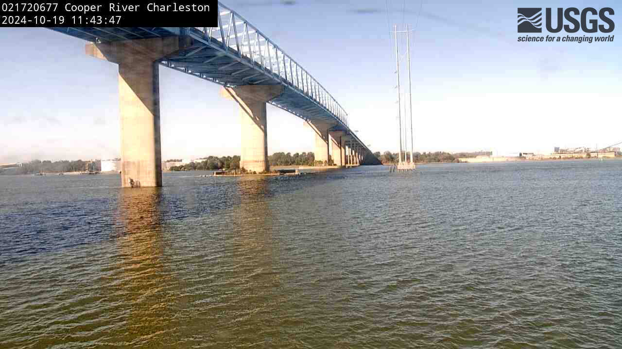
Cooper River at Filbin Creek at North Charleston (021720677)
Cooper River at Filbin Creek at North Charleston (021720677)We have installed a webcam at Cooper River at Filbin Creek at North Charleston to allow you to view (in real time) the current conditions.
Cooper River at Filbin Creek at North Charleston (021720677)
Cooper River at Filbin Creek at North Charleston (021720677)We have installed a webcam at Cooper River at Filbin Creek at North Charleston to allow you to view (in real time) the current conditions.
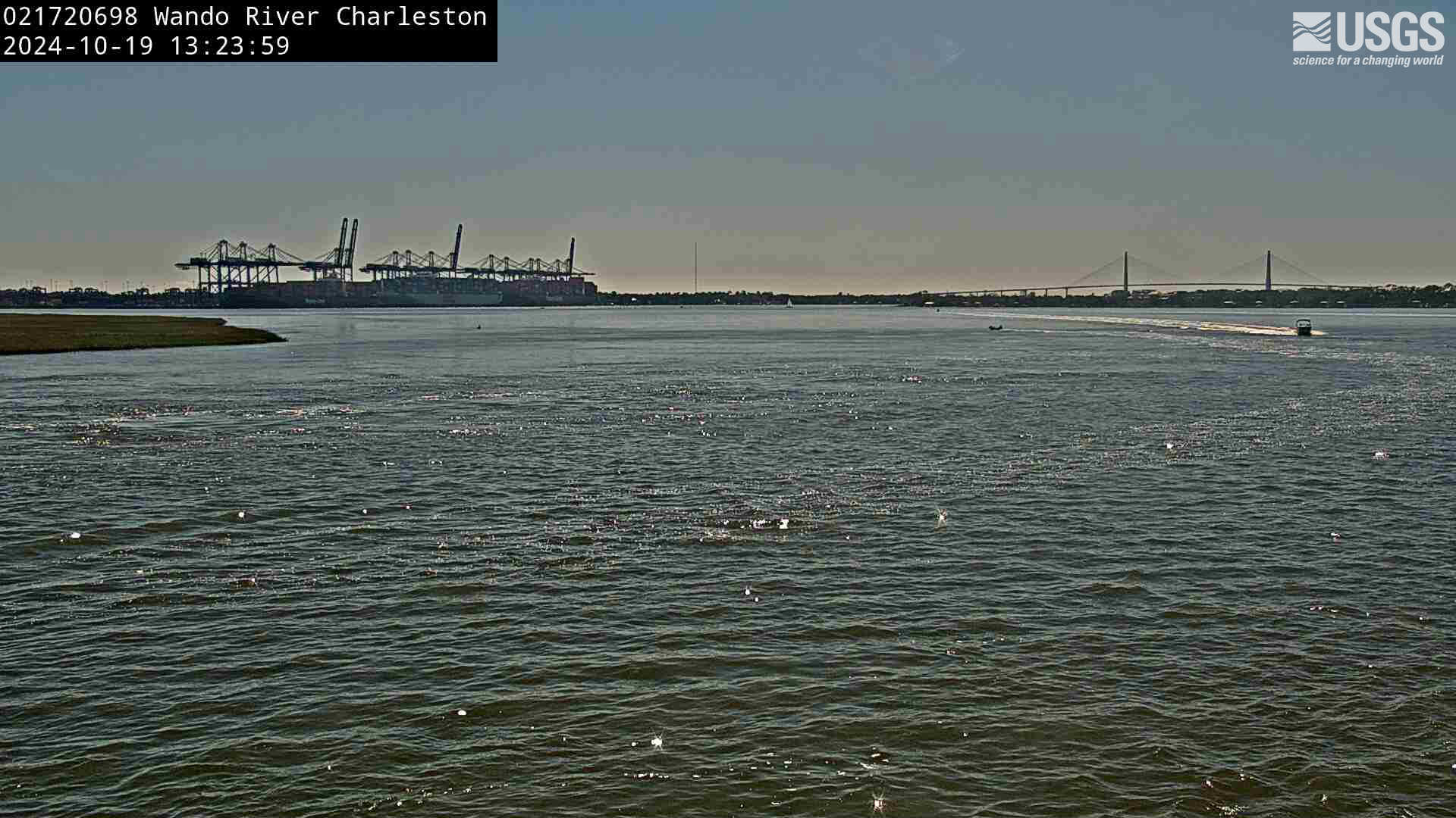
Wando River above Mt. Pleasant (021720698)
We have installed a webcam at Wando River above Mt. Pleasant to allow you to view (in real time) the current conditions.
We have installed a webcam at Wando River above Mt. Pleasant to allow you to view (in real time) the current conditions.
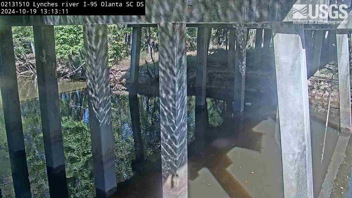
Lynches River at I-95, above Olanta, SC (02131510, Downstream)
Lynches River at I-95, above Olanta, SC (02131510, Downstream)We have installed a webcam at the Lynches River at I-95, above Olanta to allow you to view, in real time, the current river-stage conditions.
During periods of flooding, the South Atlantic Water Science Center - South Carolina will take control of the camera.
French Broad River below I-26 near Bent Creek, NC (03448050)
French Broad River below I-26 near Bent Creek, NC (03448050)The camera is located on the right bank of the French Broad River facing northeast; the river flows from left to right.
Water-quality monitoring equipment can be seen at the bottom-center of the viewing area.
Camera is sponsored by the NC Department of Transportation .
French Broad River at Asheville, NC (03451500)
The camera is located on the right bank of the French Broad River facing northwest; the river flows from left to right.
Discharge, precipitation, and water-quality monitoring equipment is also located at this station (not shown in viewing area).
Camera is sponsored by the NC Department of Transportation.
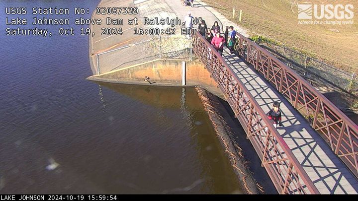
Lake Johnson above Dam at Raleigh, NC (02087339)
We have installed a webcam at Lake Johnson, Raleigh, NC to allow you to view (in real time) the current lake elevation conditions.
Camera is sponsored by the City of Raleigh, Stormwater Management.
We have installed a webcam at Lake Johnson, Raleigh, NC to allow you to view (in real time) the current lake elevation conditions.
Camera is sponsored by the City of Raleigh, Stormwater Management.

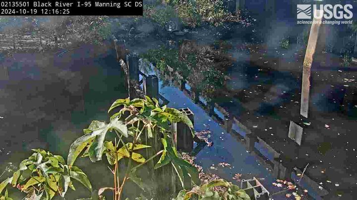
Black River at I-95, near Manning, SC (02135501, Upstream)
Black River at I-95, near Manning, SC (02135501, Upstream)We have installed a webcam at the Black River at I-95, near Manning to allow you to view, in real time, the current river-stage conditions.
During periods of flooding, the South Atlantic Water Science Center - South Carolina will take control of the camera.
Black River at I-95, near Manning, SC (02135501, Downstream)
Black River at I-95, near Manning, SC (02135501, Downstream)We have installed a webcam at the Black River at I-95, near Manning to allow you to view, in real time, the current river-stage conditions.
During periods of flooding, the South Atlantic Water Science Center - South Carolina will take control of the camera.
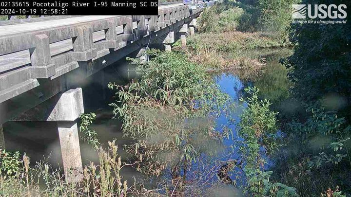
Pocotaligo River at I-95, above Manning, SC (02135615, Downstream)
Pocotaligo River at I-95, above Manning, SC (02135615, Downstream)We have installed a webcam at Pocotaligo River at I-95, above Manning to allow you to view (in real time) the current river-stage conditions.
During periods of flooding, the South Atlantic Water Science Center will take control of the camera.
Tearcoat Branch at I-95, near Manning (021355015, Downstream)
Tearcoat Branch at I-95, near Manning (021355015, Downstream)We have installed a webcam at Tearcoat Branch at I-95, near Manning to allow you to view (in real time) the current river-stage conditions.
During periods of flooding, the South Atlantic Water Science Center will take control of the camera.
Camera is sponsored by the SC Department of Transportation.
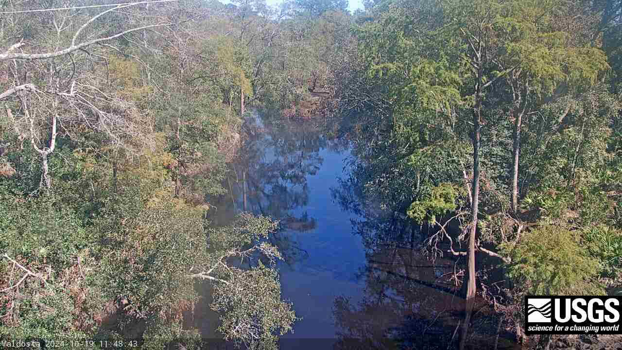
Withlacoochee River at Skipper Bridge Rd. near Bemiss (023177483)
Withlacoochee River at Skipper Bridge Rd. near Bemiss (023177483)We have installed a webcam at the Withlacoochee River at Skipper Bridge Rd. near Bemiss, GA to allow you to view, in real time, the current river-stage conditions.
During periods of flooding, the South Atlantic Water Science Center will take control of the camera.
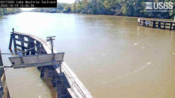
Lake Moultrie Canal at Moncks Corner, SC (02172002)
Lake Moultrie Canal at Moncks Corner, SC (02172002)We have installed a webcam at the Lake Moultrie Tailrace Canal at Moncks Corner, SC to allow you to view, in real time, the current river-stage conditions.
During periods of flooding, the South Atlantic Water Science Center - South Carolina will take control of the camera.
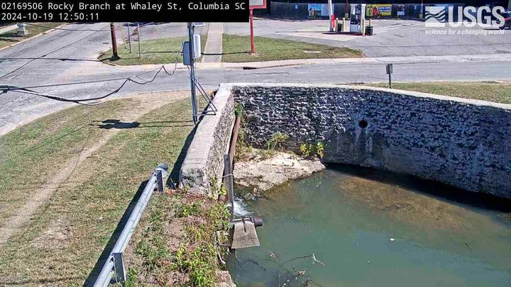
Rocky Branch at Whaley St., Columbia (02169506)
We have installed a webcam at the Rocky Branch at Whaley St. to allow you to view, in real time, the current river-stage conditions.
During periods of flooding, the South Atlantic Water Science Center - South Carolina will take control of the camera.
We have installed a webcam at the Rocky Branch at Whaley St. to allow you to view, in real time, the current river-stage conditions.
During periods of flooding, the South Atlantic Water Science Center - South Carolina will take control of the camera.
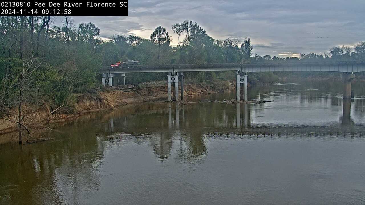
Pee Dee River near Florence (Upstream, 02130810)
We have installed a webcam at Peedee River near Florence to allow you to view (in real time) the current conditions.
During periods of flooding, the South Atlantic Water Science Center - South Carolina will take control of the camera.
Camera is sponsored by the SC Department of Transportation.
We have installed a webcam at Peedee River near Florence to allow you to view (in real time) the current conditions.
During periods of flooding, the South Atlantic Water Science Center - South Carolina will take control of the camera.
Camera is sponsored by the SC Department of Transportation.
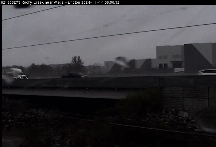
Rocky Creek Near Wade Hampton (021603273)
We have installed a webcam at Rocky Creek, near Wade Hampton, to allow you to view (in real time) the current river-stage conditions.
During periods of flooding, the South Atlantic Water Science Center - South Carolina will take control of the camera.
We have installed a webcam at Rocky Creek, near Wade Hampton, to allow you to view (in real time) the current river-stage conditions.
During periods of flooding, the South Atlantic Water Science Center - South Carolina will take control of the camera.