Using sUAS to monitor and survey regeneration and recruitment in areas of forest canopy loss
We have lost thousands of hectares of floodplain forest canopy in the Upper Mississippi River System (UMRS) since 2019, but are we losing the forest? In areas lacking regeneration or regeneration of desired species, what can this tell us about where these landscapes are headed? We know floodplain forests are in trouble in the UMRS, impacted by non-native invasive and weedy native species, changes in inundation patterns and flood regime, and a changing climate. We also know regeneration patterns and regeneration success vary across the system. However, it is important not to understate that just because forest canopy trees die does not mean the forest itself is dead. Forests regenerate after disturbances on a regular basis and UMRS forests that recently experienced heavy mortality may just be starting over, but are they?
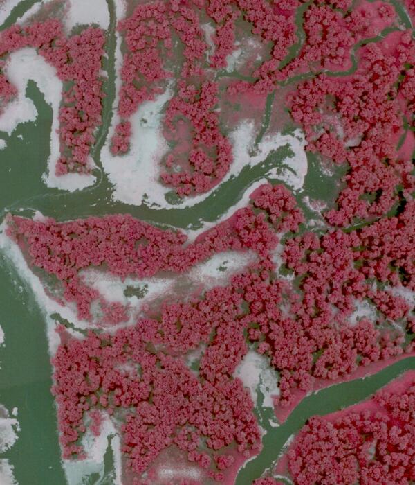
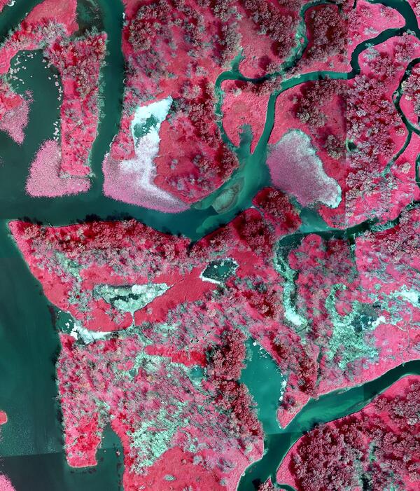
Between 2010 and 2020, the Upper Mississippi River System (UMRS) lost 1,000’s of hectares of floodplain forest (Figure 1). However, because of the mapping resolution and map class definitions of existing maps, it is impossible to tell whether these areas are in the initial stages of regeneration or converting long-term to a non-forest landcover.
The project will address three questions critical to partners, scientists, and landscape managers:
- Are floodplain forests that recently experienced heavy canopy mortality regenerating?
- What successional pathways are regenerating forests following?
- Can sUAS supplement or supplant on-the-ground vegetation data collection?
What makes this forest canopy loss event special? Through an analysis of Landsat data, we can see that the years of greatest canopy percent cover decline were centered on 2019 – 2021, likely due to tree mortality following the prolonged flooding of 2018 – 2019. In areas with high tree mortality, this prolonged flood event resulted in not just a reset of the forest canopy, but also impacted other terrestrial vegetation at these sites due in part to high levels of deposition that buried ground-layer vegetation and associated seedbanks (Figure 2).
While large-scale flood events are thought to promote regeneration conditions and provide new opportunities for early successional tree species to establish, a previous large-scale flood event in 1993 resulted in low cottonwood and willow regeneration. In areas with high canopy loss following the 2019 flood, initial unplanned observations suggest the regeneration of a diverse, native floodplain grass and forb community (Figure 3). But is this native herbaceous floodplain vegetation facilitating forest regeneration or competing with and/or possibly suppressing it? Are these areas now prone to colonization by invasive species such as reed canarygrass (Phalaris arundinacea)? Also, how do we capture this ephemeral data over large areas to learn how initial post-flood vegetation colonization and establishment patterns influence the transition to a forest that will not exist for a decade or two?
To address the need to capture these ephemeral conditions over large areas at a high resolution quickly, we plan to deploy small Uncrewed Aerial Systems (sUAS). These platforms can safely and quickly assess large areas with high-resolution sensors that can supplement, or potentially supplant, crewed ground surveys of vegetation. However, before we can migrate to collecting ground data from sUAS, we need to determine: if sUAS can collect vegetation data that reliably supplants traditional ground survey data collected by field personnel; if the collection of sUAS data in fact saves time and money; and if new UAS-collected data can be utilized to rapidly update and reassess select components of historical ground-collected datasets (e.g., in permanent forest monitoring plots).


