
GeoPackage of Seabed Hazards: A Resource for Safeguarding Offshore Infrastructure
The USGS and the Bureau of Safety and Environmental Enforcement developed a GeoPackage of seabed hazards for the U.S. Atlantic and Pacific continental shelves. By visualizing hazards in a spatial context, this resource helps users manage and protect essential offshore infrastructure.
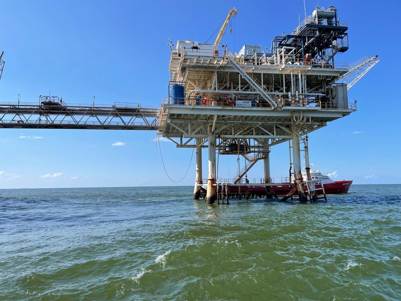
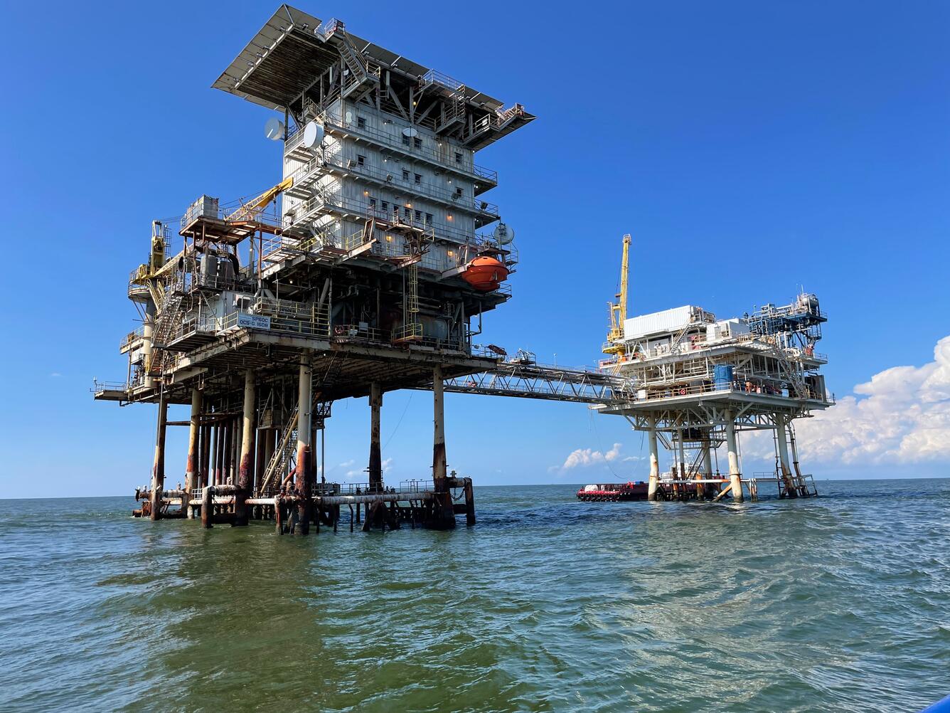
As energy and resource development expands along the nation’s outer continental shelves, the need for safe and reliable offshore infrastructure has never been greater. Oil and gas platforms, submarine cables, and pipelines play a critical role in powering homes, businesses, and industries vital to the U.S. economy and national security.
However, the ocean is a complex and dynamic environment. Geological hazards, such as shallow gas and fault scarps – sharp, abrupt changes in elevation – can threaten the safety and stability of offshore operations, posing risks to infrastructure and the communities that depend on it.
To address these challenges, the USGS partnered with the Bureau of Safety and Environmental Enforcement to compile and inventory non-proprietary studies from developers and researchers. Together, we created a comprehensive GeoPackage of seabed hazards for the U.S. Atlantic and Pacific continental shelves.
The GeoPackage allows users to visualize the studies and hazards in a spatial context. The data provide valuable insights for siting and monitoring offshore infrastructure, characterizing geological and environmental conditions to inform safe energy development, and improving resilience to natural hazards.
What’s Inside the GeoPackage?
The GeoPackage brings together more than 170 studies, organized into two feature classes:
- Trusted Datasets: Independent studies not conducted by offshore developers.
- Developer Studies for Offshore Infrastructure: Non-proprietary portions of documents submitted during regulatory processes.
Within the Trusted Datasets, scientists identified seven general hazard types: mobile seabed, hardbottom, subsurface/problematic soils, mass movement/slope properties, gas, seismic/structural, and anthropogenic. Thirty-four specific geohazards were identified in the Developer Studies for Offshore Infrastructure and organized under the applicable general hazard type.
How can the GeoPackage be used?
The GeoPackage can be queried using various criteria (for example, location, hazard type, lease site, or author). For instance, if a telecommunications company is planning to install a trans-oceanic data cable, they could use the GeoPackage to find out whether the seafloor in their proposed cabling area is rocky, muddy or sandy. A rocky or ‘hard’ seafloor often requires more complex engineering for cable installation than a muddy seafloor. Hard seafloors may also create additional permitting challenges because they typically support important habitats for fisheries. With the information in the GeoPackage, this telecommunications company could avoid these areas and reduce costs by routing cables through less challenging terrain.
Beyond helping with offshore infrastructure planning, the seabed characteristics in this GeoPackage, such as sand waves, boulders, buried channels, and gas hydrates, also provide insight into the geology and environmental conditions of a given area. A researcher studying past sea-level change could search the GeoPackage for instances of observed ‘peat’ or ‘buried channels’ to identify where former dry land surfaces are now underwater. An oceanographer interested in how heavy minerals move through coastal systems could search the GeoPackage for areas where sand waves are common near large river mouths.
In short, the GeoPackage acts as a data-rich ‘first stop’ for marine research and decision making. It fills an important gap for both offshore planning and scientific investigations, while also providing capacity to federal and state regulators, tribes, and others involved in managing offshore development.
Visit the GeoPackage of Seabed Hazards to Offshore Infrastructure web page to learn more and download the GeoPackage.
Related
GeoPackage of Seabed Hazards to Offshore Infrastructure

Sea Floor Mapping Group
Related
GeoPackage of Seabed Hazards to Offshore Infrastructure