
GeoPackage of Seabed Hazards to Offshore Infrastructure
Energy and resource development is increasing along the Nation’s outer continental shelves, where coastal waters meet the deep sea. Offshore infrastructure, such as oil and gas platforms and mining devices, help extract and transport resources from beneath the seafloor to where they’re needed on land. These resources are essential for powering homes and businesses across the country and supporting industries critical to the U.S. economy and national security. Unfortunately, offshore infrastructure is subject to a variety of geological hazards that pose risks to safety and operations.
The USGS partnered with the Bureau of Safety and Environmental Enforcement (BSEE) to inventory non-proprietary studies by developers and other researchers to describe the seabed geohazards on the United States’ Atlantic and Pacific continental shelves.
From this inventory, we created a GeoPackage where the studies and hazards can be examined in a spatial context. The data provide insight into the siting and monitoring needs for installing sea-floor cables, pipelines, and other development, as well as characterize the broader geological and environmental conditions of each area.
GeoPackage ReadMe and Guidance Documents
Marine Cadastre
The seabed geohazards GeoPackage encompasses more than 170 studies conducted in the Pacific and Atlantic continental shelves of the United States. Study entries are divided into two feature classes:
1) Trusted Datasets: Studies not conducted by offshore developers.
2) Developer Studies for Offshore Infrastructure: Non-proprietary portions of the documents submitted by offshore developers during the regulatory process.
Within Trusted Datasets, seven broad categories of seabed characteristics were identified. Within Developer Studies for Offshore Infrastructure, 34 specific geohazards were documented. (See table below.)
Studies examined for the GeoPackage identified the presence or absence of the following hazards:
| General types of hazards identified in Trusted Datasets | Specific hazards identified in developer studies for Offshore Infrastructure |
| Mobile seabed (MOBBED) | Ripples Megaripples Sand waves Sand ridges Unclassified bedforms Bedform migration Areas prone to scour |
| Hardbottom (HARDBOT) | Surface boulders Subsurface boulders Glacial till Outcrops, reefs, or exposed rocky areas Shallow bedrock Moraines |
| Subsurface/Problematic Soils (SED) | Organic soil Peat Glauconite Buried channels Subsurface deformation |
| Mass Movement/Slope Properties (SLOPE) | Slumps Slides Mass transport scarps Steep slopes |
| Gas (GAS) | Shallow gas or gas seeps Pockmarks Gas hydrates |
| Seismic/Structural (STRUCT) | Faults Fault scarps |
| Anthropogenic (ANTH) | Shipwrecks UXO/MEC Cables Pipelines Anchorages, dumping grounds, disposal sites Sand resource areas Other seabed obstructions |
For detailed locations of offshore oil and gas platforms, submarine cables, pipelines, munitions and explosives of concern, and active lease boundaries, visit the Marine Cadastre National Viewer, where GIS layers compiled and maintained by BSEE, the Bureau of Ocean Energy Management (BOEM), and the National Oceanic Atmospheric Administration (NOAA) can be viewed and downloaded.
Using the Marine Cadastre National Viewer is easy.
- Visit the Marine Cadastre National Viewer.
- Use “Add Layers” to search for what you need (e.g., “submarine cables”).
- Add the layer to your map and/or download the data directly from the description page by clicking “Direct data download”.
Suggested Citation
Curran, B.J., and Brothers, L.L., 2025, GeoPackage of seabed hazards for offshore infrastructure, U.S. Atlantic and Pacific continental shelves: U.S. Geological Survey data release, https://doi.org/10.5066/P1SLUTW9.
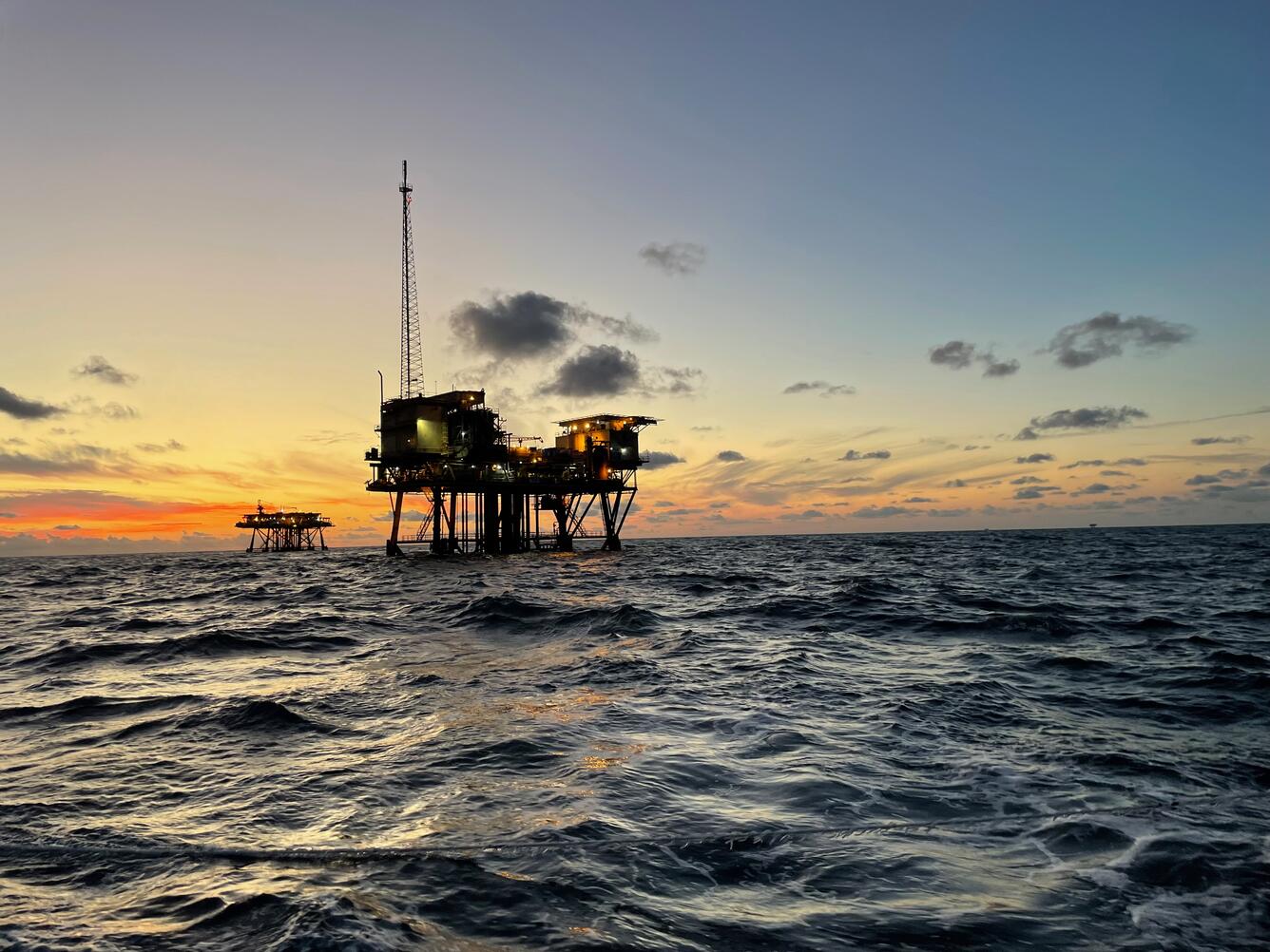
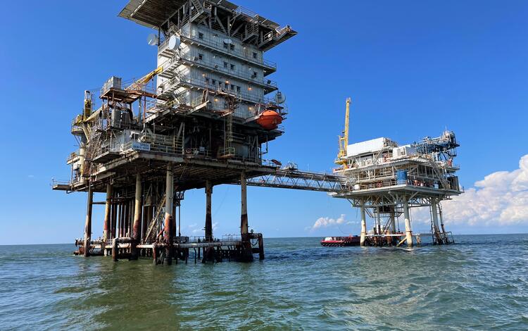
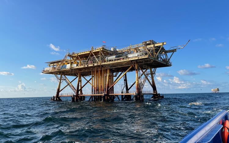