
Helping Our Neighbors: USGS Surveys Primary Drinking Water Source for the Town of Falmouth
USGS conducted a mapping survey of Long Pond in Falmouth, Massachusetts, at the request of the Town to determine the total water volume of the reservoir, as well as the water volumes available based on varying water surface elevations. Long Pond is Falmouth’s primary source of drinking water.
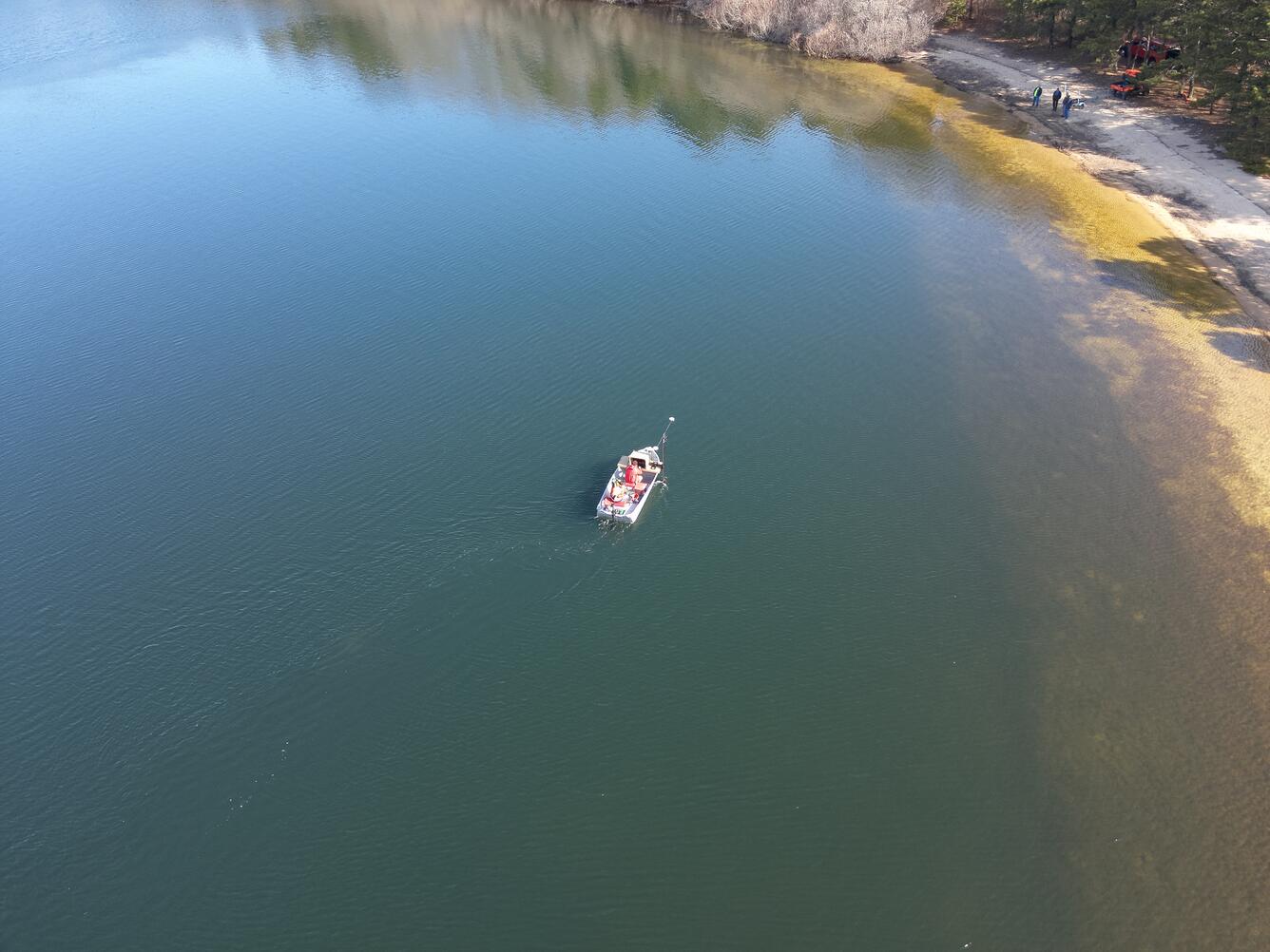
The USGS office in Woods Hole, Massachusetts recently conducted a survey of Long Pond—a local waterbody in the town of Falmouth. Long Pond has been Falmouth’s primary drinking water source since 1898. For example, it provided over 80% of Falmouth’s daily water needs during peak summer months in 2019.1 Understanding the dynamics of the reservoir, especially during periods of drought, is critical to ensure the Town can provide safe, potable drinking water to the community.
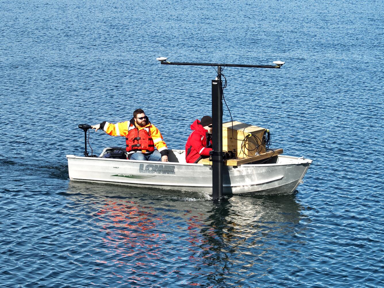
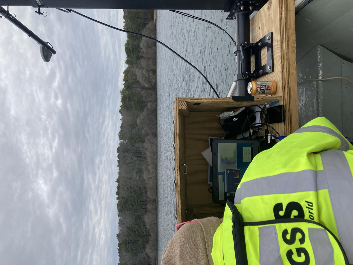
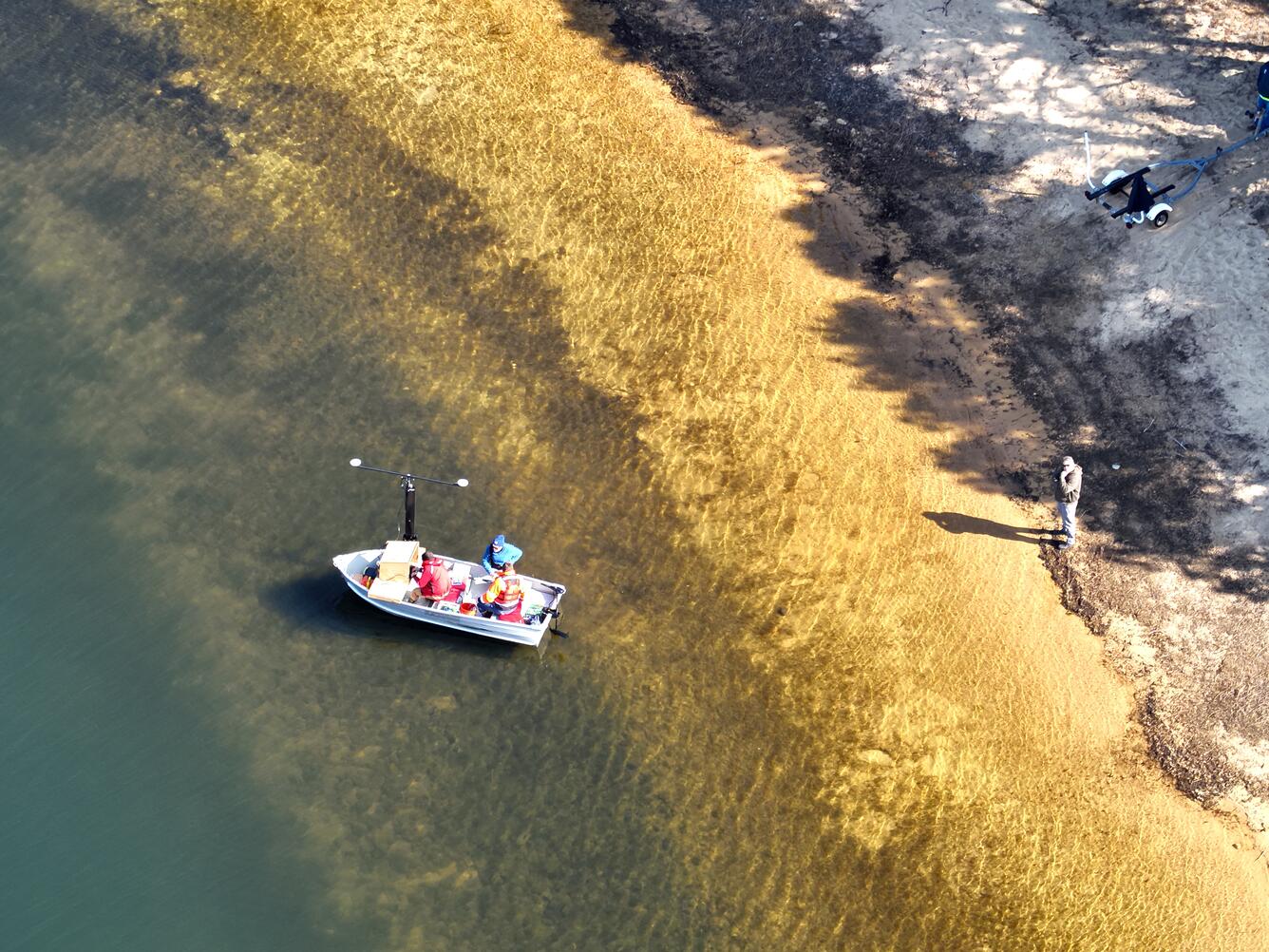
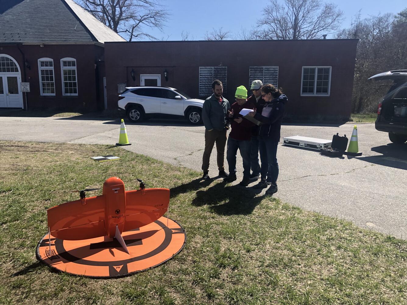
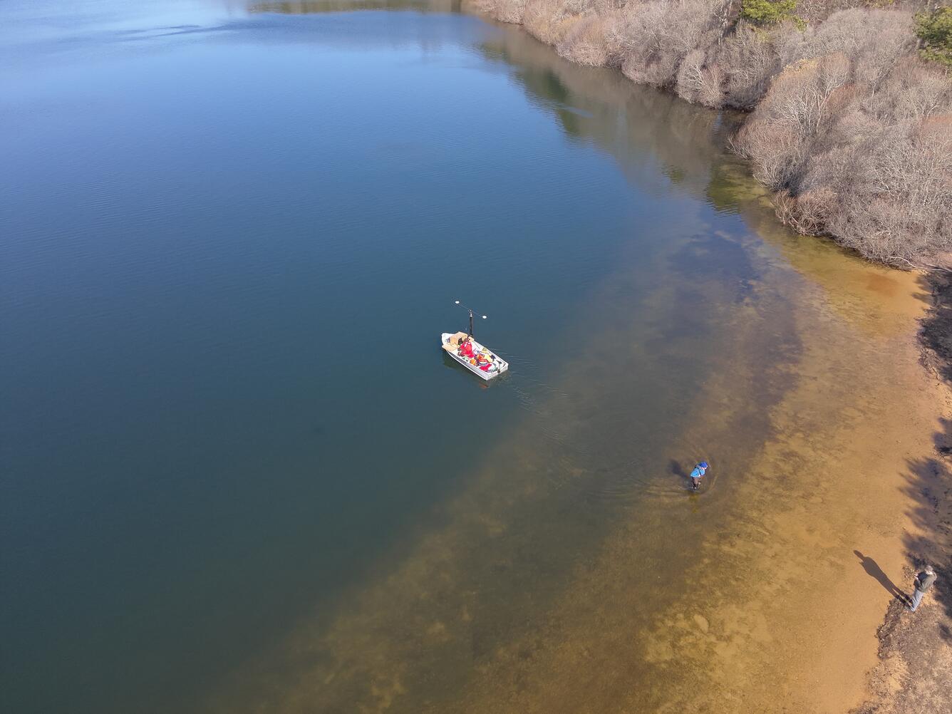
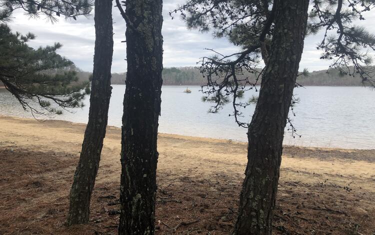
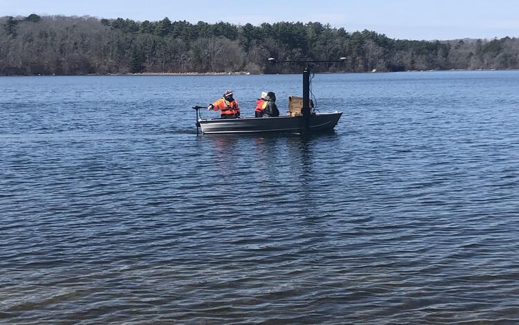
In April, the USGS mapped the water depth and characterized the bottom of Long Pond using a multibeam echo sounder and simultaneously conducted a drone lidar survey to measure the topography of the land around the pond. We were able to successfully map 90% of the Pond with the echo sounder. Conditions were too shallow along the margins of the Pond to map the remaining 10%.
The Town of Falmouth was most interested in learning how different water elevations affect the total water volume of the Pond and the water volumes available to the water treatment plant. For the past five years, the Town has taken daily measurements of the Pond’s water elevation. Their measurements indicate the elevation in April 2025 was 6.12 feet, a decrease of 1.7 feet from April 2024 and 3 feet from April 2020. We reconciled the Town’s daily water elevation records to a vertical datum—a reference level—so volume calculations accurately correspond to the Town’s water level observations. The preliminary total volume was 1.45 billion gallons in April and approximately 16 percent of that volume was available to the pumping station. A USGS data release is forthcoming.
Cape Cod has been in a drought since January 2025. On July 11, 2025, the drought level was downgraded from “significant drought” to “mild drought.” Monitoring the water elevation and total volume of Long Pond helps the Town of Falmouth understand short- and long-term trends and manage the water supply throughout the year, especially during drought.
The USGS will conduct another drone lidar survey around Long Pond in August, when water levels are typically their lowest due to the influx of tourists enjoying summer days on the coast. Our collaboration will support the Town’s mission to safeguard the Long Pond drinking water supply for generations to come.

Source:
Many photos taken by the Town of Falmouth. Credit listed in the media details of each photo.