
Chesapeake Bay Activities Newsletter July-September 2022

New high-resolution, land-use and change data improves decision-making in the Chesapeake Bay watershed
IssueInforming restoration across the nearly 64,000 square miles of the Chesapeake Bay watershed is an enormous challenge that requires detailed and accessible landscape data. Among the most pressing challenges being addressed by the Chesapeake Bay Program (CBP) partnership are:→ Water pollution from agriculture and animal waste,→ Conversion of critical habitat like forest and marshes for new...

Among the ‘last cold places,’ a fish defies climate change
Bay Journal — by Jeremy Cox — September 27, 2022

New study shows importance of streambank erosion and floodplain deposition on sediment, phosphorus, and nitrogen sources and transport in the Chesapeake watershed
Issue: As Chesapeake Bay Program partners work to reduce pollution, knowing sources of sediment, phosphorus, and nitrogen transported to the Bay is critical for effective and efficient management. Streams and their associated floodplains have an important influence on the transport of nutrients and sediment through the Chesapeake watershed and into tidal waters. The USGS is conducting...
See our updated USGS Chesapeake Bay Activities website

Explainable machine learning improves interpretability in the predictive modeling of biological stream conditions in the Chesapeake Bay Watershed, USA
Anthropogenic alterations have resulted in widespread degradation of stream conditions. To aid in stream restoration and management, baseline estimates of conditions and improved explanation of factors driving their degradation are needed. We used random forests to model biological conditions using a benthic macroinvertebrate index of biotic integrity for small, non-tidal streams...

Geomorphic metrics across four catchments in Clarksburg, Maryland, 2002-19
This dataset contains geomorphic metrics across 32 cross-sections at four catchments within the Clarksburg Special Protection Area in Montgomery County, Maryland. These data were derived from raw cross-sectional data collected by the Montgomery County, Maryland Department of Environmental Protection. Geomorphic metrics include channel area, bed location, channel depth, channel width, and...
Bedrock depth influences spatial patterns of summer baseflow, temperature and flow disconnection for mountainous headwater streams
In mountain headwater streams, the quality and resilience of summer cold-water habitat is generally regulated by stream discharge, longitudinal stream channel connectivity and groundwater exchange. These critical hydrologic processes are thought to be influenced by the stream corridor bedrock contact depth (sediment thickness), a parameter often inferred from sparse hillslope borehole...

Potomac Environmental Flows Workshop Summary Report
Interstate Commission on the Potomac River Basin (ICPRB) — July 2022
Tracking geomorphic changes after suburban development with a high density of green stormwater infrastructure practices in Montgomery County, Maryland
Stream morphology is affected by changes on the surrounding landscape. Understanding the effects of urbanization on stream morphology is a critical factor for land managers to maintain and improve vulnerable stream corridors in urbanizing landscapes. Stormwater practices are used in urban landscapes to manage runoff volumes and peak flows, potentially mitigating alterations to the flow...
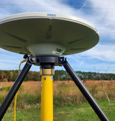
Progress Through Partnerships - Chesapeake Bay Vertical Land Motion Project
Chesapeake Bay region has the highest rate of relative sea-level rise on the Atlantic Coast of the United States, and data indicate that vertical land motion in the form of subsidence has been responsible for more than half the relative sea-level rise measured in the Chesapeake Bay region.The Chesapeake Bay Vertical Land Motion Project is a cooperative effort between the USGS and our many partners...