
July 15, 2025 — Kīlauea summit kinematic GPS survey

Detailed Description
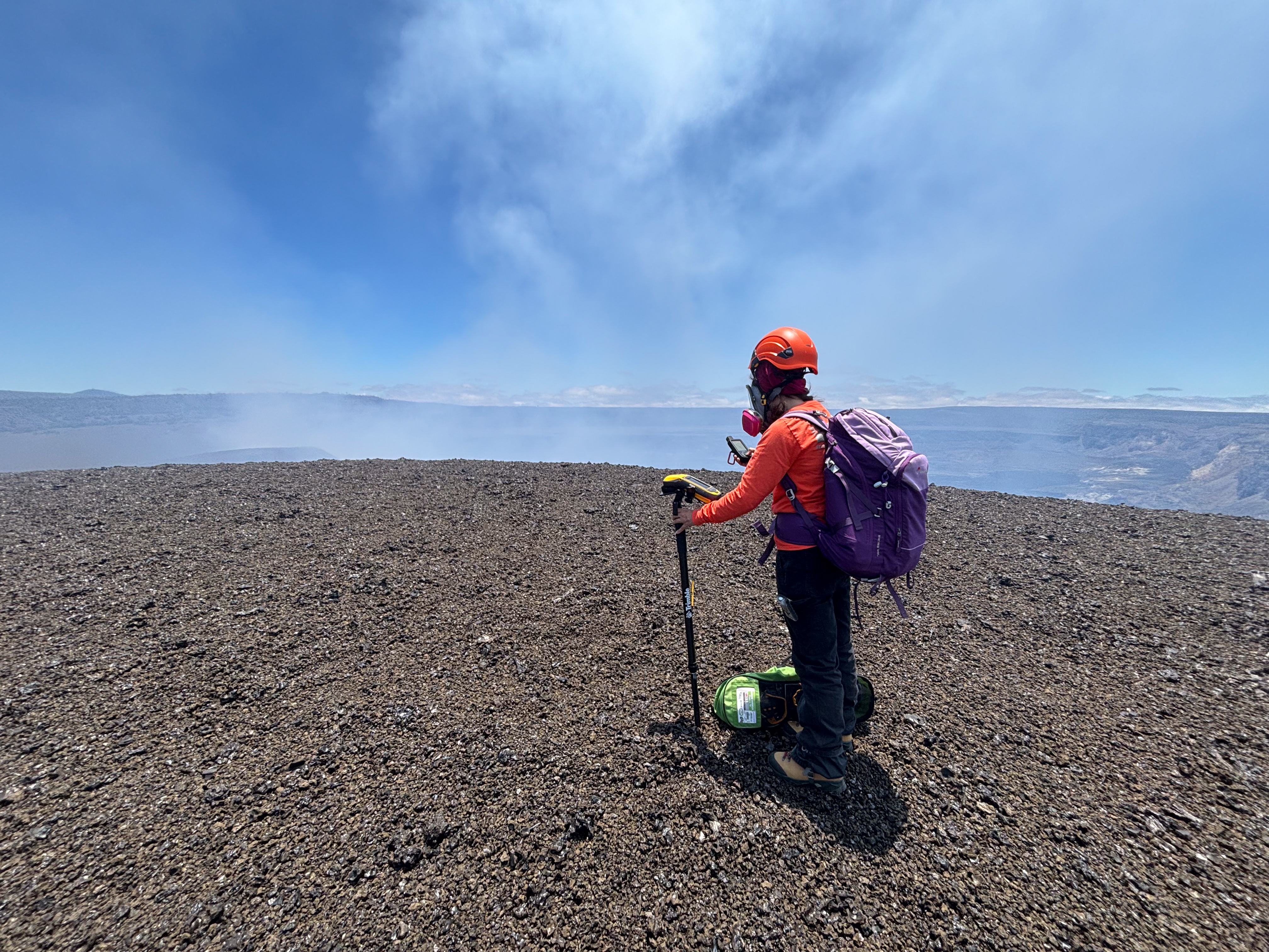
Following episode 28 of lava fountaining during the ongoing Kīlauea summit eruption, USGS scientists conducted a kinematic GPS survey to measure changes in the newly formed tephra hill along the caldera rim. This work was carried out with permission from Hawai‘i Volcanoes National Park. Episode 28 added up to 6 additional feet (2 meters) of tephra along the survey route. USGS photo by M. Benage.
Sources/Usage
Public Domain.