
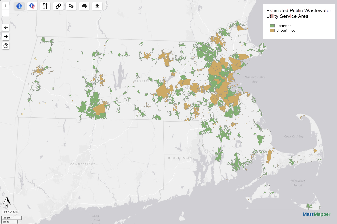
Map of Massachusetts Public Wastewater Utility Service Area Boundaries

Detailed Description
Map of public wastewater utility service area boundaries as they are shown in MassMapper. Green polygons show service area extents confirmed by the utility, and orange polygons show service areas that are in review and yet to be confirmed by the utility.
Sources/Usage
Public Domain.
Related
Enhancing Water and Sewer Utility Mapping in Massachusetts
The U.S. Geological Survey (USGS), in cooperation with the Massachusetts Department of Environmental Protection (MassDEP) Water Utility Resilience Program (WURP), is assisting public water and wastewater utilities in transitioning their service infrastructure data to geographic information systems (GIS) and updating related statewide datasets and data visualization tools. Improving access to...