
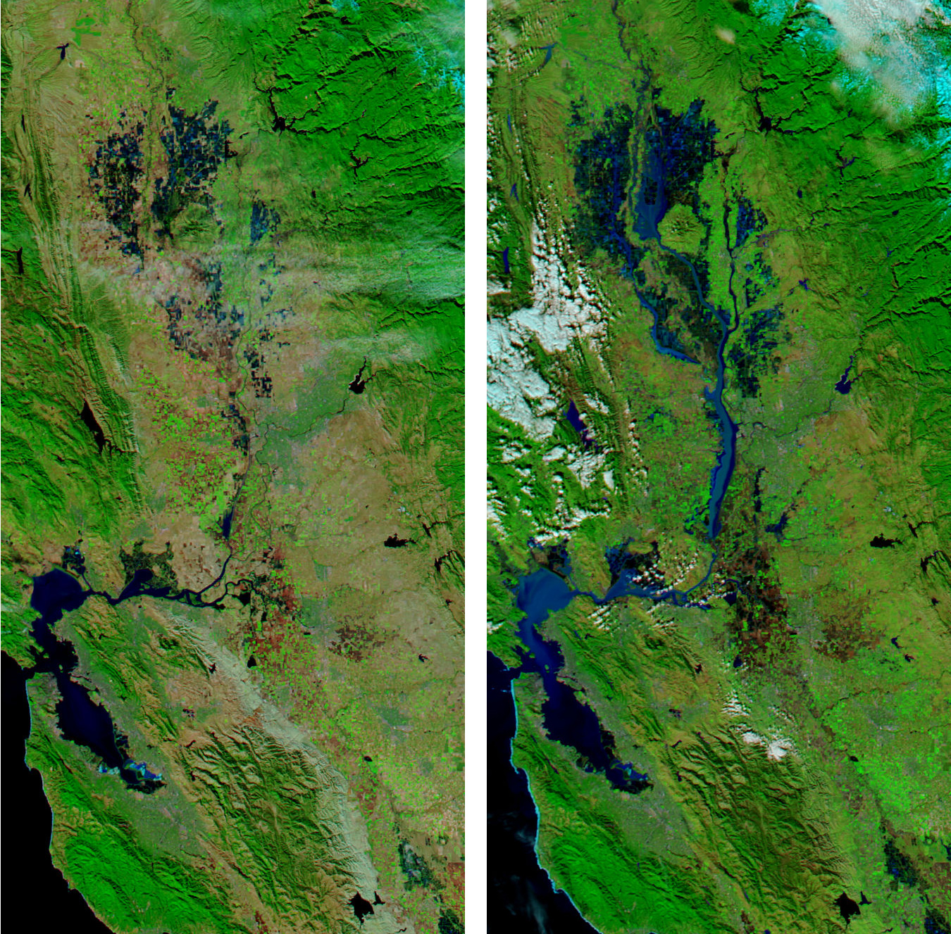
Satellite Images of Flooding in the Sacramento-San Joaquin Valley Region

Detailed Description
This pair of images shows flooding in the Sacramento-San Joaquin Valley region inland of San Francisco Bay. The image on the left was captured by the MODIS Aqua satellite on December 10, 2005, and the image at right was captured on January 4, 2006. Water is dark blue/black, vegetation is green, bare land is brown, and clouds are white.
Sources/Usage
Public Domain.