
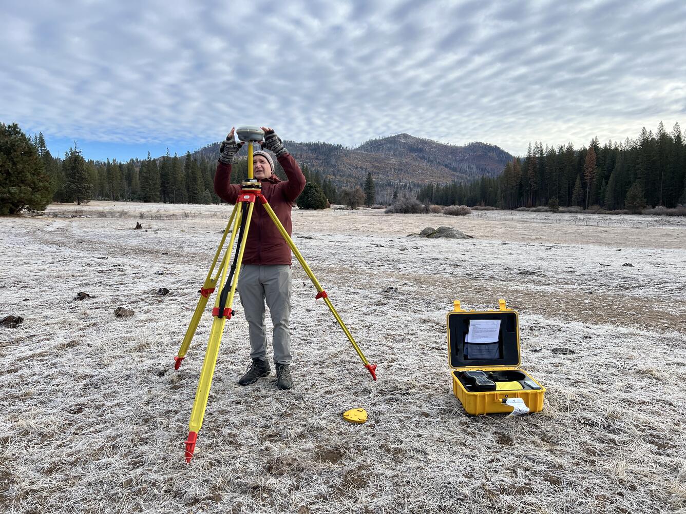
Setting up Global Navigation Satellite System (GNSS) base station in Yosemite
Detailed Description
USGS geographer and remote pilot Mark Bauer sets up a Global Navigation Satellite System (GNSS) base station, which will be used to correct uncrewed aircraft system (UAS) lidar data during post-processing. It's early during the field day and a layer of frost covers the ground.
Sources/Usage
Public Domain.
Related

National Uncrewed Systems Office
The U.S. Geological Survey (USGS) National Uncrewed Systems Office (NUSO) leads the research activities needed to make Uncrewed Aircraft Systems (UAS) data collection an efficient, safe, and cost-effective remote sensing tool for Department of the Interior (DOI) and USGS scientists.
Related
National Uncrewed Systems Office
The U.S. Geological Survey (USGS) National Uncrewed Systems Office (NUSO) leads the research activities needed to make Uncrewed Aircraft Systems (UAS) data collection an efficient, safe, and cost-effective remote sensing tool for Department of the Interior (DOI) and USGS scientists.