
Social media for seafloor mapping article

Detailed Description
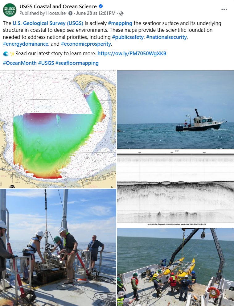
The USGS is actively mapping the seafloor surface and its underlying structure in coastal to deep sea environments. These maps provide the scientific foundation needed to address national priorities, including #publicsafety, #nationalsecurity, #energydominance, and #economicprosperity.
Read our latest story to learn more. https://www.usgs.gov/programs/cmhrp/news/usgs-seafloor-mapping-provides-scientific-foundation-needed-address-national
Sources/Usage
Public Domain.