
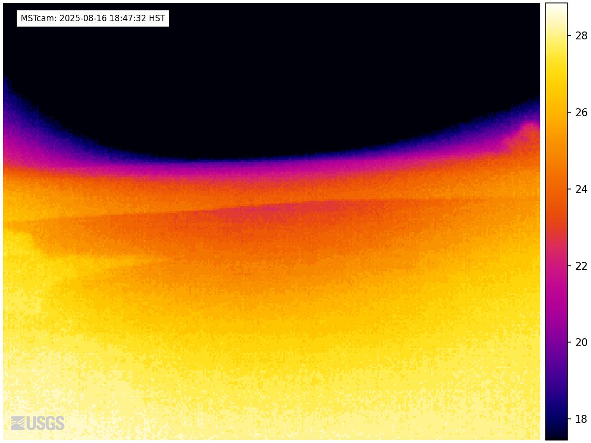
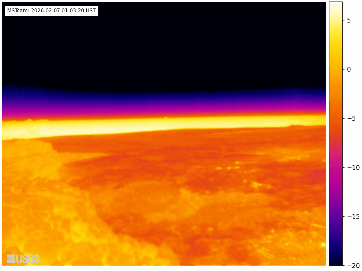
[MSTcam] South Pit and Upper Southwest Rift Zone - thermal image from Moku‘āweoweo south rim
Live Panorama of South Pit from South Rim of Moku‘āweoweo [MSTcam].
The MSTcam is a research camera positioned on the south rim of Mokuʻāweoweo, Mauna Loa's summit caldera, in Hawaiʻi Volcanoes National Park. The camera looks west-southwest, across South Pit, focusing on the south part of Mauna Loa's summit region and upper Southwest Rift Zone. This image is from a thermal camera, which records in Centigrade, conversions to Fahrenheit are provided here for your convenience: 20°C=68°F, 40°C=104°F, 60°C=140°F, 80°C=176°F.
Mauna Loa volcano, South Pit and upper Southwest Rift Zone
Last 24 hours
Disclaimer
The webcams are operational 24/7 and faithfully record the dark of night if there are no sources of incandescence or other lights. Thermal webcams record heat rather than light and get better views through volcanic gas. At times, clouds and rain obscure visibility. The cameras are subject to sporadic breakdown, and may not be repaired immediately. Some cameras are observing an area that is off-limits to the general public because of significant volcanic hazards.