
Whiskeytown Lake
Detailed Description
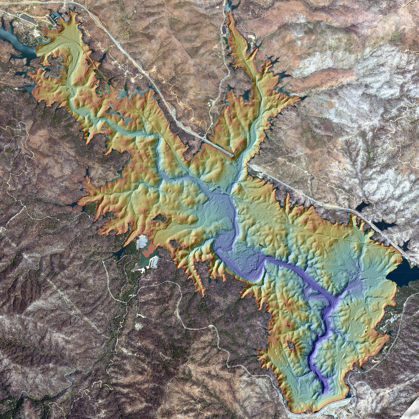
Bathymetry and Imagery of Whiskeytown Lake, California. Researchers used this map and others to subtract out the volume of new sediment accumulating at creek outlets after the Carr Fire, from which they were able to calculate post-fire sediment yields.
Sources/Usage
Public Domain.
USGS data release
Bathymetry, topography and orthomosaic imagery for Whiskeytown Lake, northern California (ver. 2.0, July 2021)