
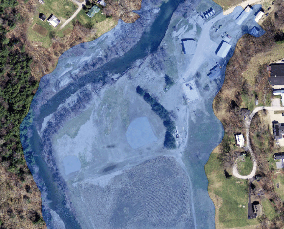
A visualization of the one-percent annual exceedance probability flood boundaries
By New England Water Science Center
2015 (approx.)
Detailed Description
A visualization of the one-percent annual exceedance probability flood boundaries on the White River in the vicinity of Rochester, VT as documented in USGS SIR 2015-5056.
Sources/Usage
Public Domain.
Related

Remembering Tropical Storm Irene in New England
On August 28, 2011 Tropical Storm Irene made landfall in New England, leading to coastal storm surge, significant riverine flooding, sediment transport to Long Island Sound, and major infrastructure damage and destruction. Ten years later, the USGS New England Water Science Center looks back at Irene, the data collected by our Center during the event, the response by our employees before, during...
Related
Remembering Tropical Storm Irene in New England
On August 28, 2011 Tropical Storm Irene made landfall in New England, leading to coastal storm surge, significant riverine flooding, sediment transport to Long Island Sound, and major infrastructure damage and destruction. Ten years later, the USGS New England Water Science Center looks back at Irene, the data collected by our Center during the event, the response by our employees before, during...