
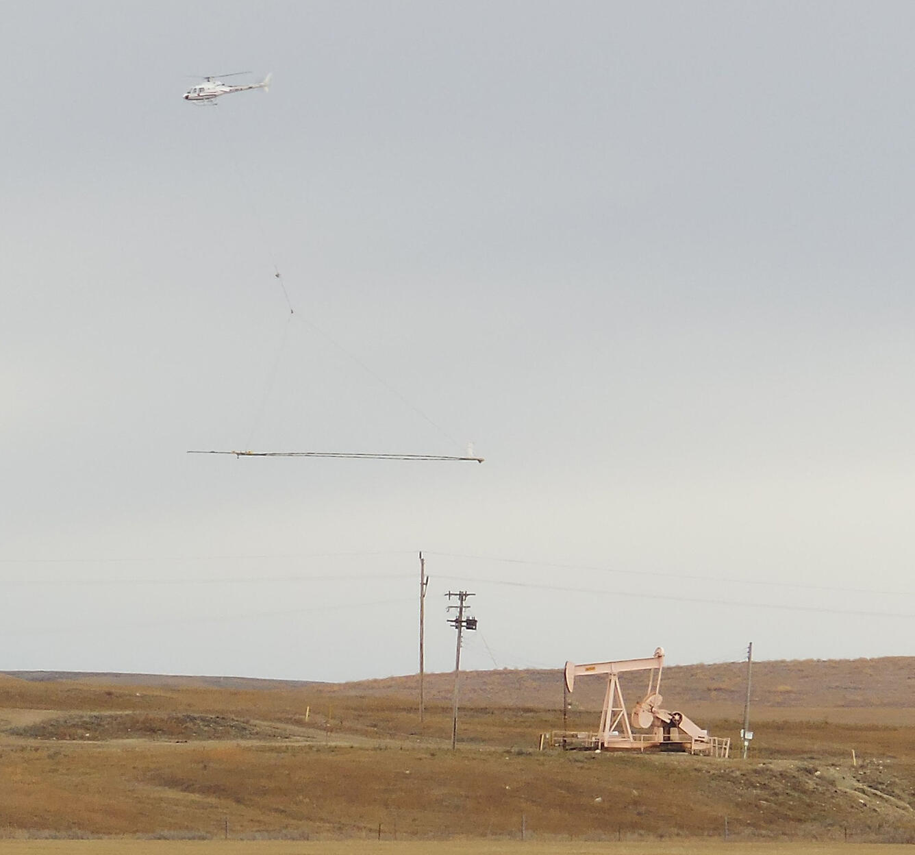
Airborne Survey Nar Poplar, MT
By Geology, Geophysics, and Geochemistry Science Center
October 2014 (approx.)
Detailed Description
Airborne electromagnetic (AEM) and magnetic survey data were collected during October 2014 in a 553-square-kilometer area that includes the East Poplar oil field on the Fort Peck Indian Reservation in northeastern Montana, USA. Data were acquired with the SkyTEM301 transient electromagnetic helicopter-borne system together with a Geometrics G-822 magnetometer.
Sources/Usage
Public Domain.