
Animation of Landsat images showing fires burning in Saskatchewan, Canada
Detailed Description
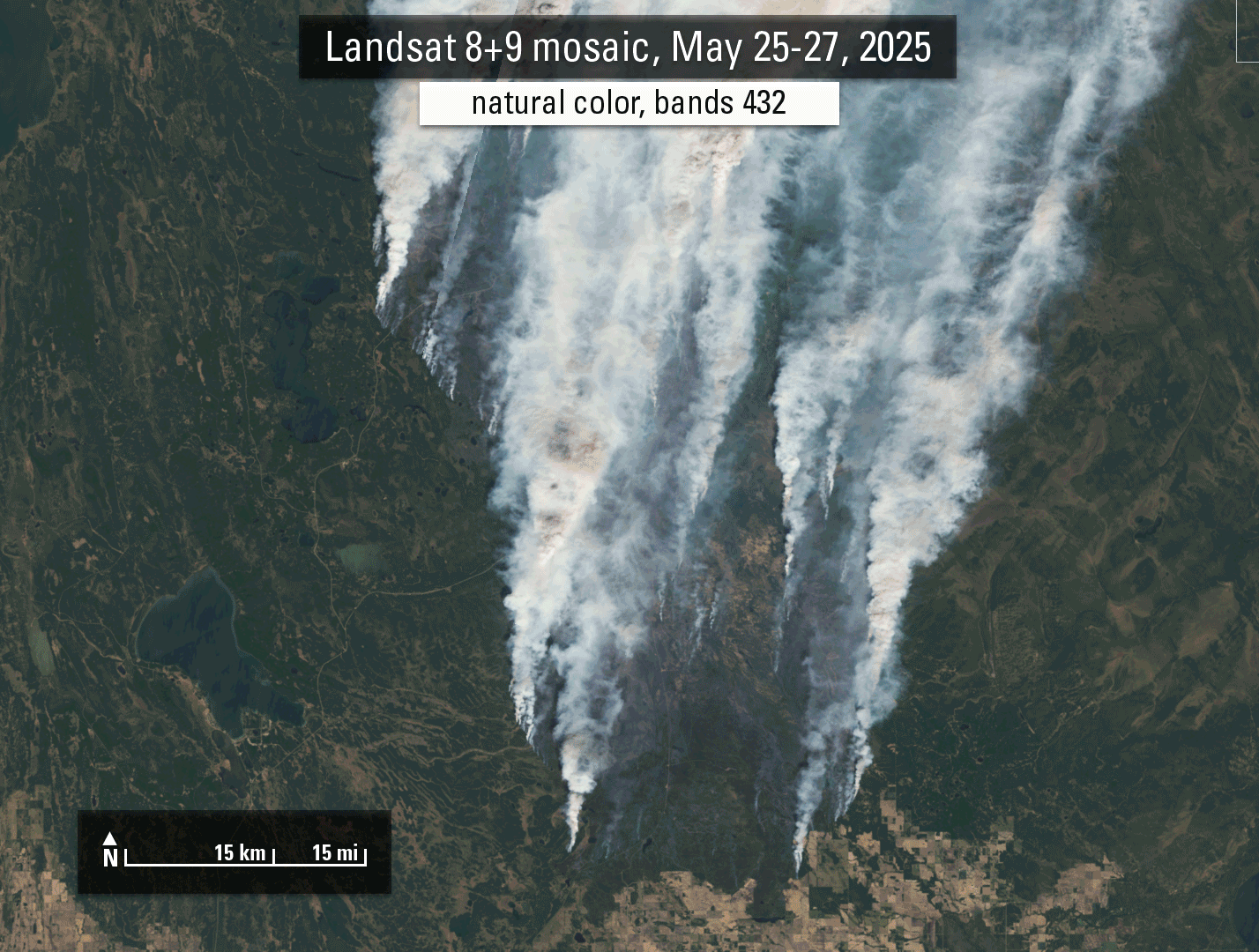
In late May 2025, Landsat satellites captured imagery of active fires in north-central Saskatchewan, Canada. The fires have caused evacuation orders and closed highways. While the natural color image shows the massive smoke covering the land, false color images allow us to see through the smoke and see the areas of active burning more clearly. Future Landsat collects will be beneficial in showing the changes the fire makes as it continues to burn, and after the fires are extinguished to learn how the burned areas affect the landscape.
Sources/Usage
Public Domain.