



Aquaculture Water Use map, monthly withdrawals for 2023 by state


Detailed Description
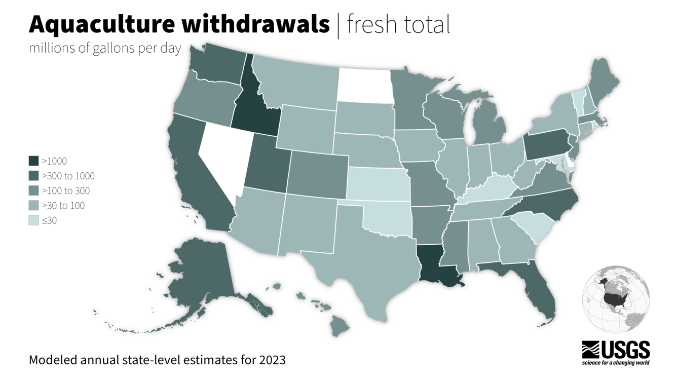
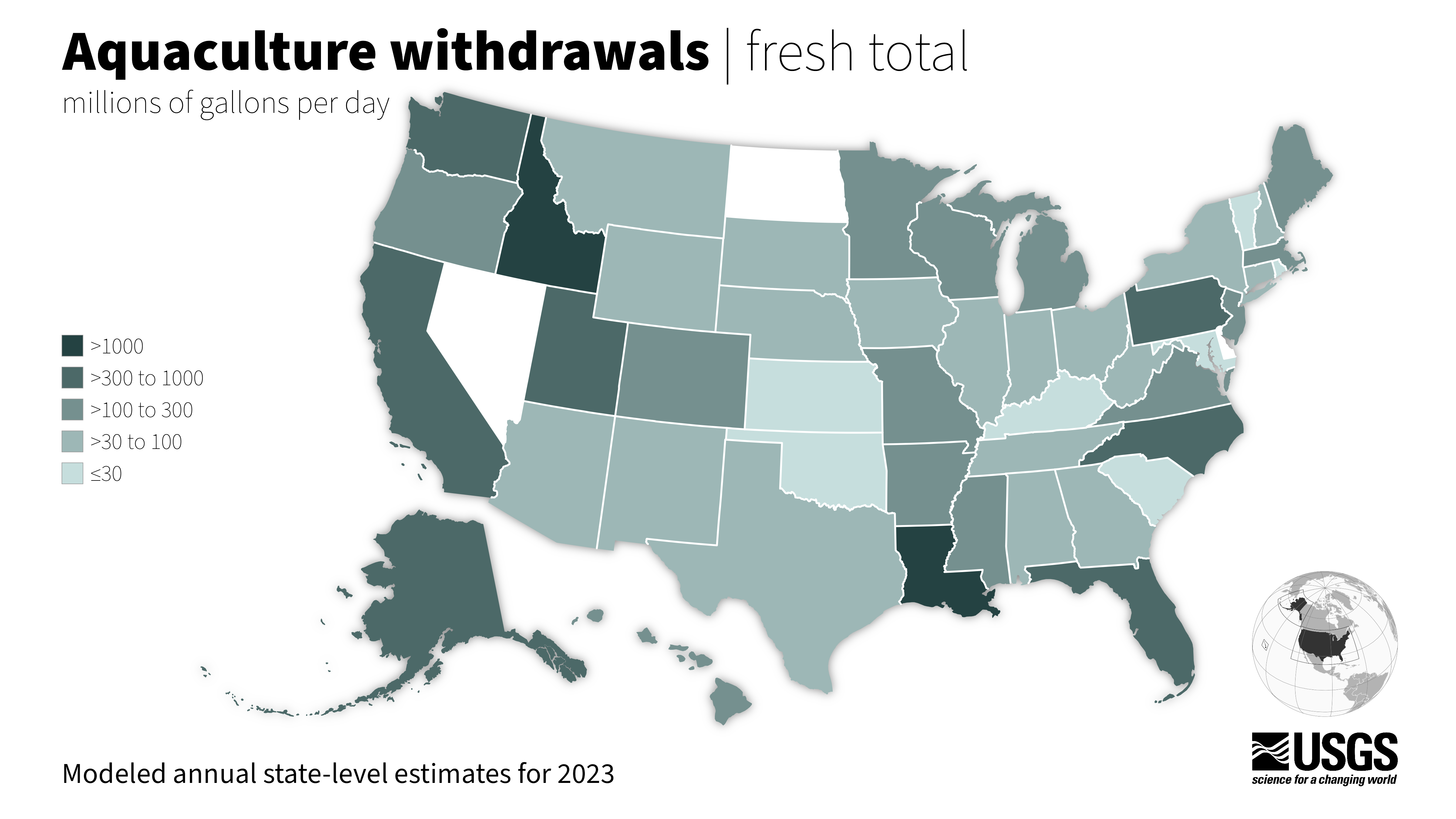
This map represents the average amount of water withdrawn in 2023 for aquaculture use for all states in the conterminous United States (CONUS), Alaska, and Hawaii.
Aquaculture water use is water associated with raising organisms that live in water—such as finfish and shellfish—for food, restoration, conservation, or sport. Aquaculture production occurs under controlled feeding, sanitation, and harvesting procedures primarily in ponds, flowthrough raceways, and, to a lesser extent, cages, net pens, and closed-recirculation tanks.
Data from ScienceBase (https://doi.org/10.5066/P143KF7U).
Sources/Usage
Public Domain.
Related

Aquaculture Water Use
Aquaculture water use is water associated with raising organisms that live in water—such as finfish and shellfish—for food, restoration, conservation, or sport. Aquaculture production occurs under controlled feeding, sanitation, and harvesting procedures primarily in ponds, flowthrough raceways, and, to a lesser extent, cages, net pens, and closed-recirculation tanks.

Water Use in the United States
Since 1950, the USGS has regularly produced nationwide water‑use data, creating one of the most comprehensive pictures of how water is used across the United States. Building on this rich historical record, these data give water managers a critical foundation to evaluate long‑term trends, plan strategically, and identify and quantify water availability so they can design more adaptive, resilient...

Accessing Water Use Data
The USGS provides historic and recent water use data for the United States including the District of Columbia, Puerto Rico, and the U.S. Virgin Islands. This page provides an up-to-date guide to accessing, downloading, and using USGS water use data.
Related
Aquaculture Water Use
Aquaculture water use is water associated with raising organisms that live in water—such as finfish and shellfish—for food, restoration, conservation, or sport. Aquaculture production occurs under controlled feeding, sanitation, and harvesting procedures primarily in ponds, flowthrough raceways, and, to a lesser extent, cages, net pens, and closed-recirculation tanks.
Water Use in the United States
Since 1950, the USGS has regularly produced nationwide water‑use data, creating one of the most comprehensive pictures of how water is used across the United States. Building on this rich historical record, these data give water managers a critical foundation to evaluate long‑term trends, plan strategically, and identify and quantify water availability so they can design more adaptive, resilient...
Accessing Water Use Data
The USGS provides historic and recent water use data for the United States including the District of Columbia, Puerto Rico, and the U.S. Virgin Islands. This page provides an up-to-date guide to accessing, downloading, and using USGS water use data.