
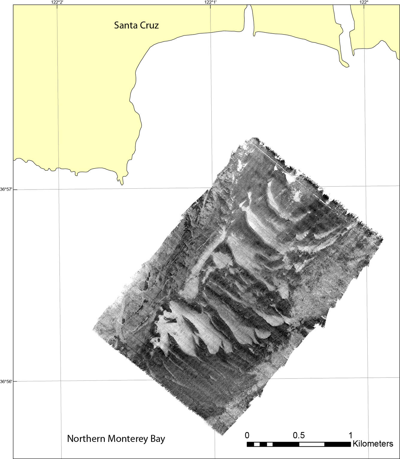
Backscatter map offshore of Santa Cruz
Detailed Description
Between November 2014 and June 2016 the U.S. Geological Survey, Pacific Coastal and Marine Science Center (PCMSC) conducted eight repeat, high-resolution bathymetry and acoustic-backscatter surveys of a small patch of seafloor offshore Santa Cruz in northern Monterey Bay, California. PCMSC also collected oceanographic time-series data over the same two-year period.
Sources/Usage
Public Domain.
USGS data release
Dartnell, Peter, Rosenberger, K.J., and Storlazzi, C.D., 2018, Bathymetry, acoustic-backscatter, and time-series datasets collected between 2014 and 2016 of a field of crescent-shaped rippled scour depressions in northern Monterey Bay, California: U.S. Geological Survey data release, doi: 10.5066/F71C1W36.