
Bad River 2016 Flood geo-narrative

Detailed Description
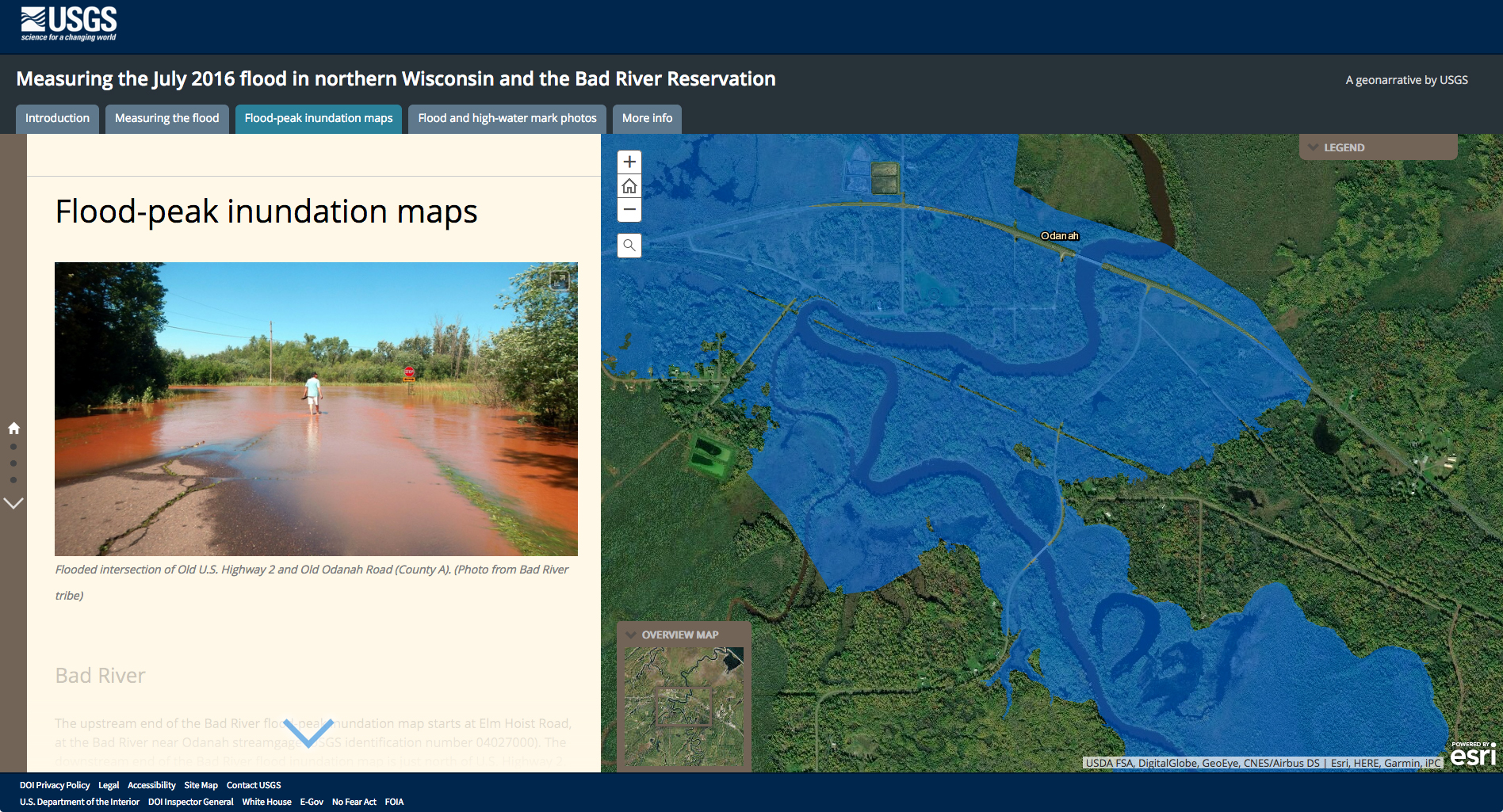
Screenshot of the geo-narrative (story map) Measuring the July 2016 flood in northern Wisconsin and the Bad River Reservation. On July 11-12, 2016, severe thunderstorms hit northern Wisconsin, resulting in widespread flooding. Immediately following the flood, the USGS and the Bad River Band of the Lake Superior Tribe of Chippewa Indians began collecting evidence of peak flood levels. USGS scientists used these high-water marks, along with streamflow and lake level, to reconstruct the extent and depth of flood inundation.
Sources/Usage
Public Domain.