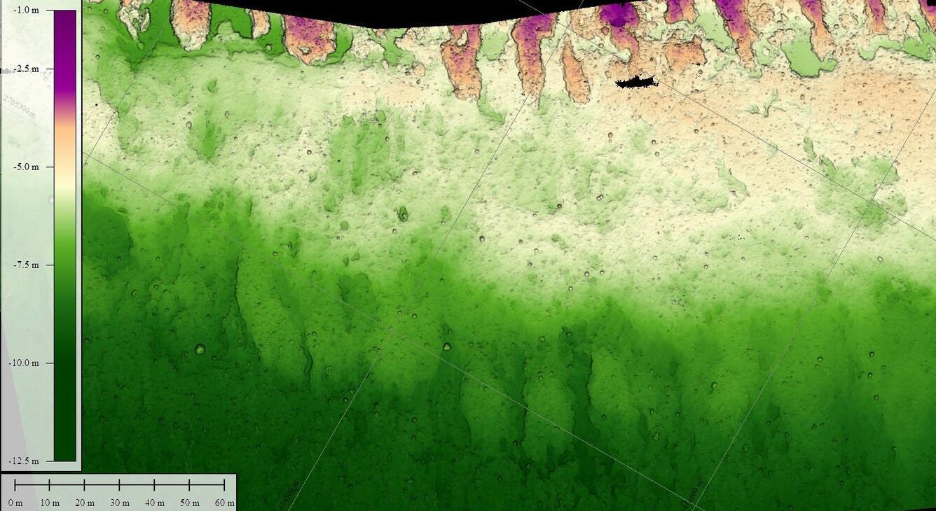
Bathymetric digital elevation model (DEM) of Eastern Dry Rocks coral reef, Florida, 2021

Detailed Description
A digital elevation model (DEM) was created from underwater images collected at Eastern Dry Rocks coral reef near Key West, Florida, in May 2021 using the SQUID-5 camera system. The underwater images were processed using Structure-from-Motion (SfM) photogrammetry techniques into a classified two-class ('unclassified' and 'low noise') 3D point cloud. The DEM was derived in Metashape (ver. 1.6.5) from the point cloud, but it excludes the 'low noise' class. The DEM covers a rectangular area of seafloor approximately 800x160 meters (0.12 square kilometers) in size and was saved as a tiled GeoTIFF raster at 1-cm resolution.
Sources/Usage
Public Domain.

