
Coastal EDEN
Detailed Description
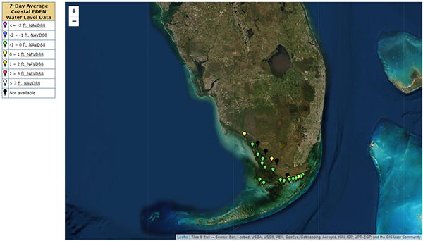
The Everglades Depth Estimation Network (EDEN) is an integrated network of water-level gages, interpolation models, and applications that generates daily water-level data and derived hydrologic data across the freshwater part of the greater Everglades landscape. Coastal EDEN presents real-time data for the oligihaline/mesohaline zone in the Southern Everglades.
Sources/Usage
Public Domain.