



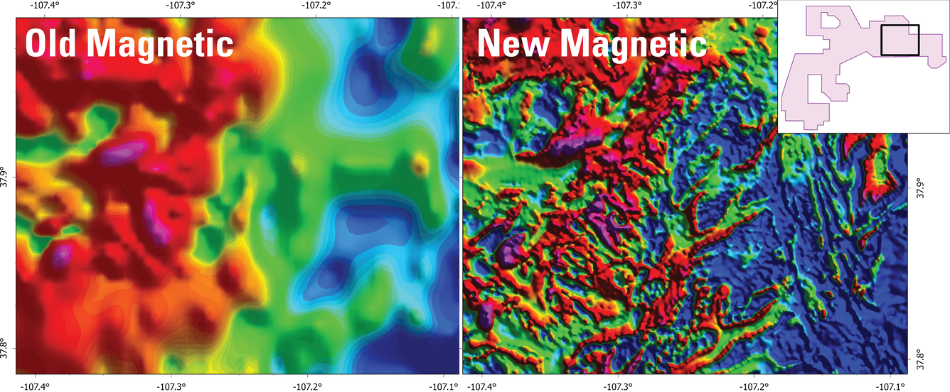
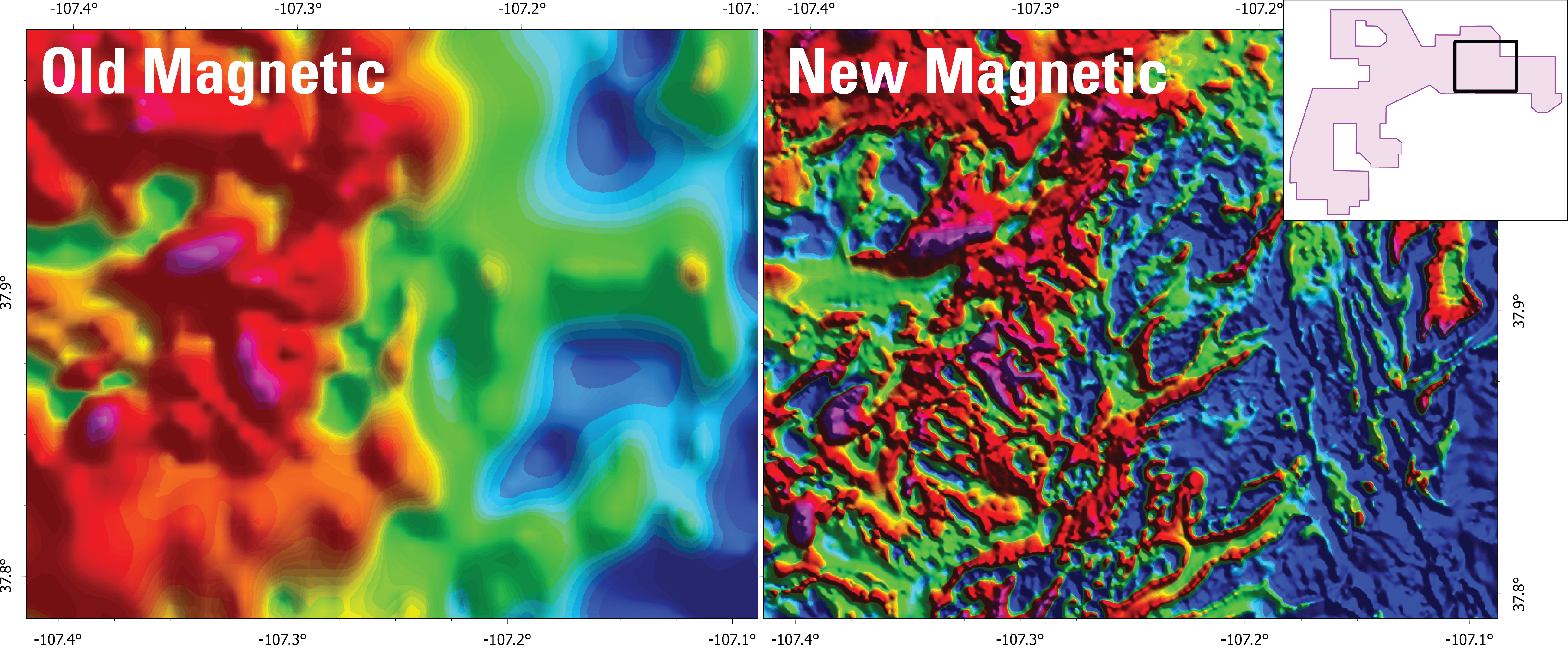
Comparison of legacy magnetic data and new Earth MRI magnetic data in southwest Colorado


Detailed Description
Side by side images of legacy (old) magnetic data (Oshetski and Kucks, 2000; https://doi.org/10.3133/ofr0042) and recently collected Earth MRI magnetic data in the Southwest block of the Colorado Mineral Belt (U.S. Geological Survey, 2024; https://doi.org/10.5066/P1F3EHPN) over the same geographic area. Red/purple colors are areas of high anomalous magnetic field and blue colors are areas of low anomalous magnetic field. The inset in the top right corner shows the location of the data relative to the survey outlines.
References
Oshetski, K., and Kucks, R., 2000, Colorado aeromagnetic and gravity maps and data: A web site for distribution of data (on-line version): U.S. Geological Survey Open-File Report 2000-42, HTML Document, https://doi.org/10.3133/ofr0042.
U.S. Geological Survey, 2024, Airborne Magnetic and Radiometric Survey, Colorado Mineral Belt, Southwest Block, 2023: U.S. Geological Survey data release, https://doi.org/10.5066/P1F3EHPN.
Sources/Usage
Public Domain.
Related

Geophysical and Geological Characterization of Mineral Deposit Localization in the Colorado Mineral Belt and Surrounding Lithosphere: Geophysical Data Analyses and Interpretations
Related