
Death Valley, California
Detailed Description
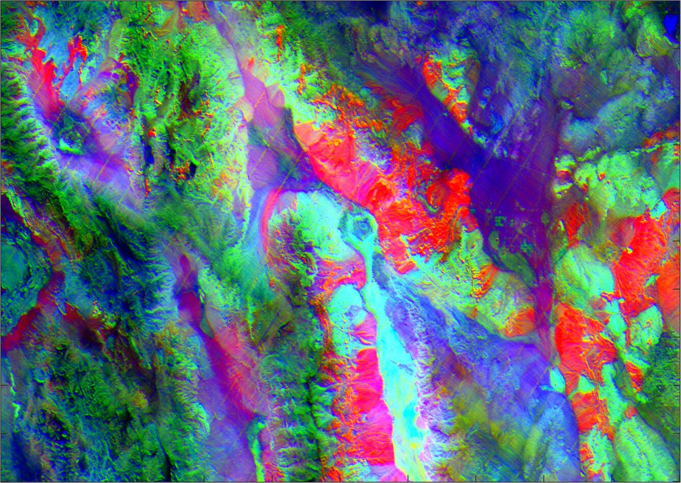
ECOSTRESS Level 2 image of Death Valley, California, acquired on 17 September at 12:13 UTC. The NASA JPL image has been processed with a decorrelation stretch algorithm with bands 5, 3, 2 displayed in RGB. In a decorrelation stretch, the surface composition represented by emissivity variations are shown as color differences (e.g. quartz rocks are red), while brightness changes represent temperature differences.
Sources/Usage
Public Domain.