
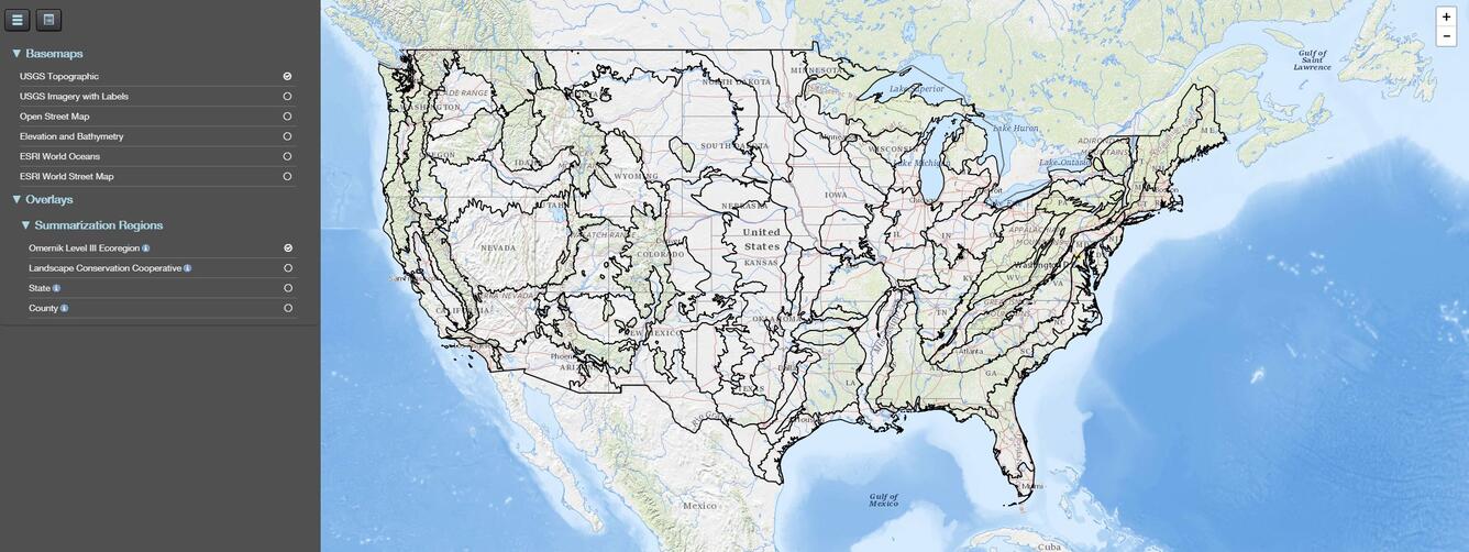
Default map of the GAP Land Cover Viewer
Detailed Description
Initial view of the map interface when a user goes to the GAP/LANDFIRE National Terrestrial Ecosystems 2011 viewer.
The GAP/LANDFIRE National Terrestrial Ecosystems represents a highly thematically detailed land cover map of the U.S. The GAP/LANDFIRE National Terrestrial Ecosystems dataset is produced by the U.S. Geological Survey in collaboration with the LANDFIRE Program. The GAP produces data and tools that help meet critical national challenges such as biodiversity conservation, renewable energy development, climate change adaptation, and infrastructure investment. Learn more about GAP and other GAP data (including protected areas and species habitat maps) at https://gapanalysis.usgs.gov.
Sources/Usage
Public Domain.