
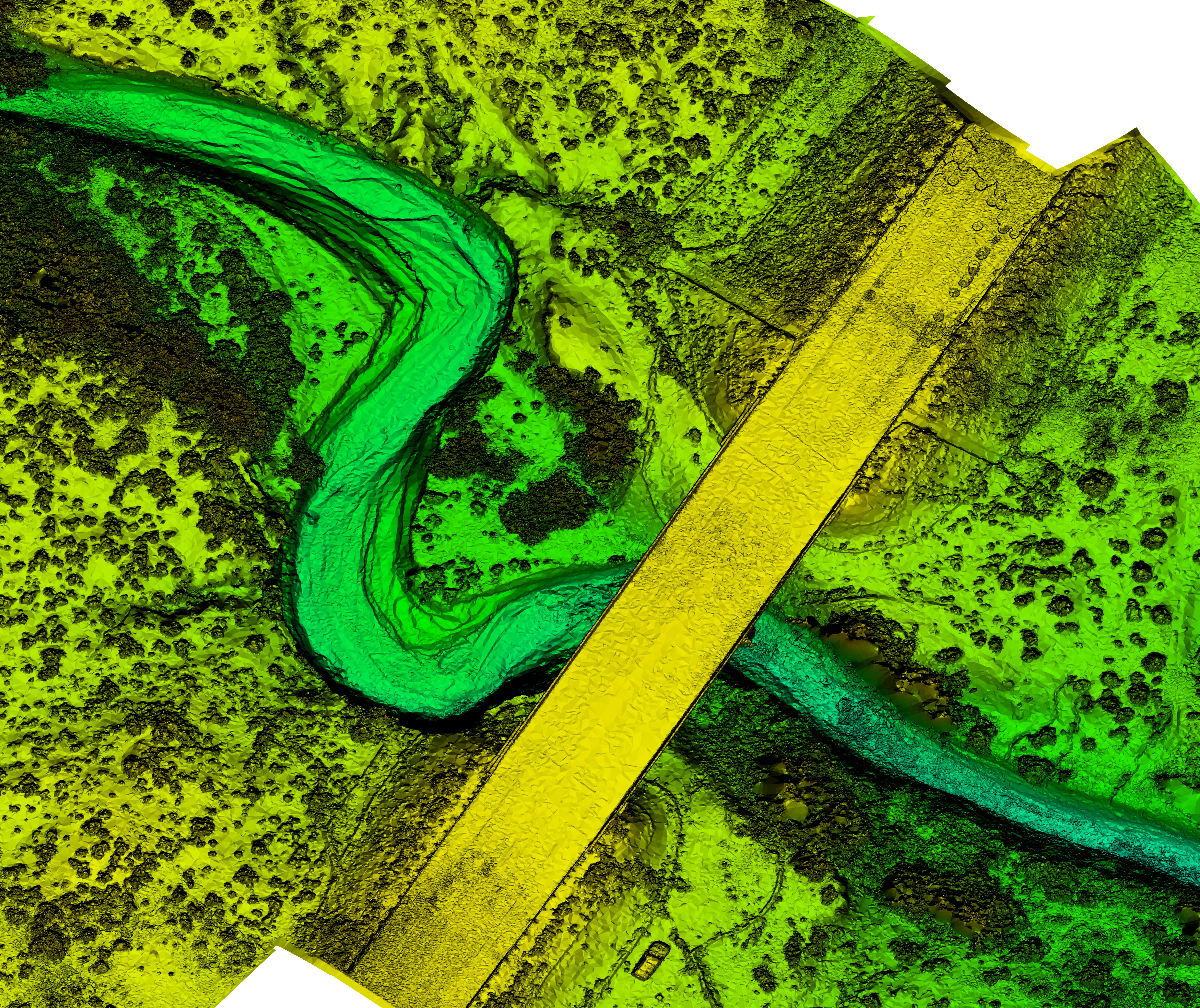
Digital Elevation Model Created by an Unmanned Aerial System
By Frequently Asked Questions
2017 (approx.)

Detailed Description
This digital elevation model was created using structure from motion software mounted to an Unmanned Aerial System (UAS) to analyze bridge scour. Studies using UAS have included stream temperature analyses, bird and mammal surveys, coastal change mapping, sandbar habitat surveys, fluvial erosion rates, microclimate mapping, air quality analysis, plant stress assessment, and sediment erosion and deposition among many other emerging studies. UAS are an increasingly important tool for monitoring, assessing, and conducting targeted scientific research for the nation.
Sources/Usage
Public Domain.