
Documenting landslides in Puerto Rico caused by Hurricane Maria.
By Communications and Publishing
2017 (approx.)

Detailed Description
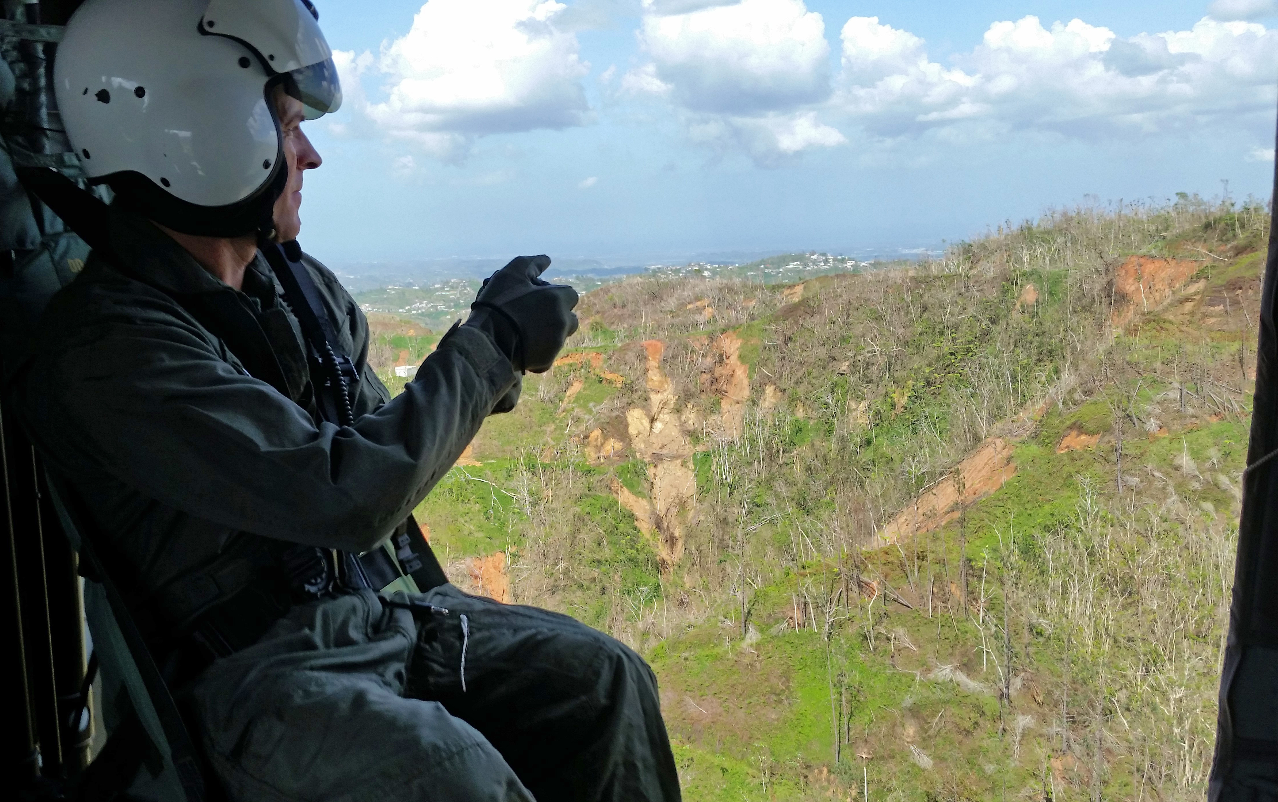
Bill Schulz, USGS Research Geologist, takes photographs of Puerto Rican hillsides from a U.S. Army helicopter to document landslides caused by Hurricane Maria. This work will help identify areas around Puerto Rico with the highest risk of more landslides, which is information the Federal Emergency Management Agency will use to determine the best way to mitigate and prepare for any future landslides. Photo by Jason Marineau, DOI Office of Emergency Management.
Sources/Usage
Public Domain.
Related

Puerto Rico Natural Hazards: Hurricanes | Peligros naturales de Puerto Rico: Huracanes
Hurricanes are one of the most frequent natural hazards that Caribbean islands are prone to encounter. The frequency of storms and their intensity could increase with climate change. This page contains a variety of USGS research on hurricane impacts to Puerto Rico, dating back to 1989, when Hurricane Hugo impacted the island. Research topics include storm-induced landslides, as well as impacts on...
Related
Puerto Rico Natural Hazards: Hurricanes | Peligros naturales de Puerto Rico: Huracanes
Hurricanes are one of the most frequent natural hazards that Caribbean islands are prone to encounter. The frequency of storms and their intensity could increase with climate change. This page contains a variety of USGS research on hurricane impacts to Puerto Rico, dating back to 1989, when Hurricane Hugo impacted the island. Research topics include storm-induced landslides, as well as impacts on...