
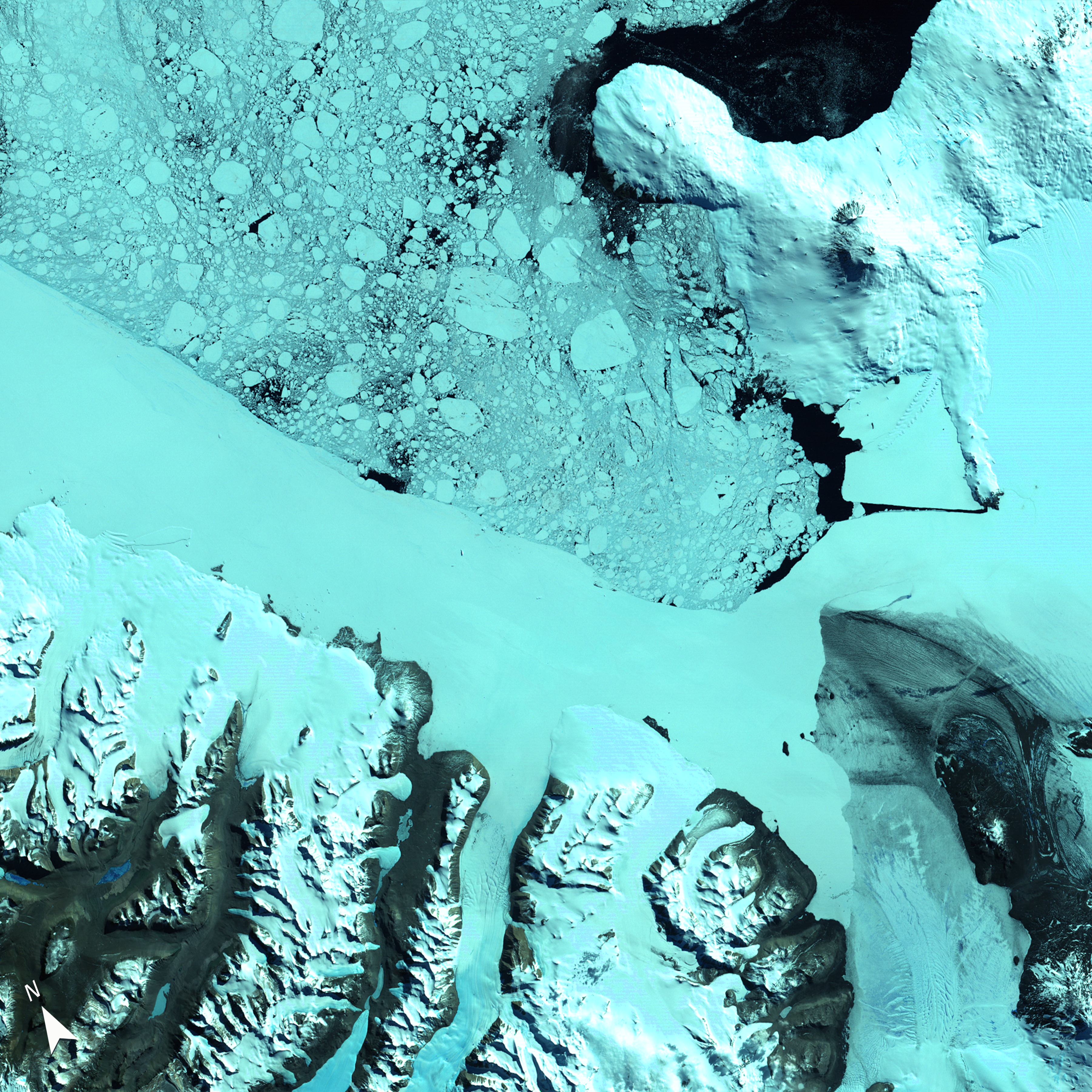
Early Satellite View of Ross Island and McMurdo Sound

Detailed Description
This Landsat 1 image, acquired on January 13, 1973, offers one of the earliest satellite perspectives of Antarctica’s Ross Island and McMurdo Sound. Captured using the Multispectral Scanner’s (MSS) near-infrared, red, and green bands (6, 5, 4), the image highlights the region's glaciated terrain, floating sea ice, and volcanic peaks.
Learn more about the Landsat 1 mission .
Sources/Usage
Public Domain.