
East Beaufort Map of Shoreline Change
By Pacific Coastal and Marine Science Center
2017 (approx.)
Detailed Description
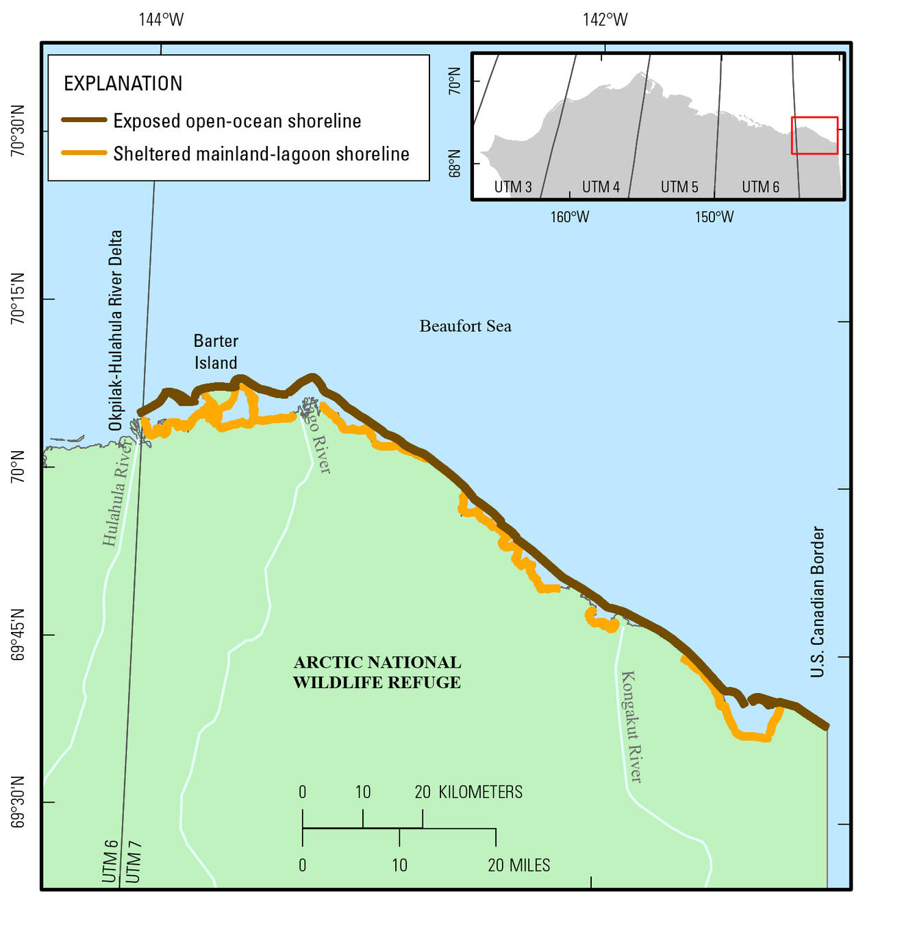
The U.S. Geological Survey (USGS) is conducting a national assessment of coastal change hazards. One component of this research effort, the National Assessment of Shoreline Change Project, documents changes in shoreline position as a proxy for coastal change. Data for calculating historical rates of shoreline change for the East Beaufort Sea coast of Alaska are included here. Data for all the USGS National Assesment of Shoreline Change Projects can be viewed on the USGS Coastal Change Hazards Portal.