
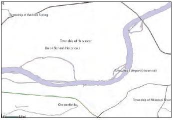
Example geographic names data
Detailed Description
Example geographic names data. In support of the United States Board on Geographic Names, the USGS maintains the Federal authoritative source of official geographic feature names, known as the Geographic Names Information System (GNIS). USGS topographic maps and The National Map Viewer display selected feature names, including physical and cultural features such as mountains, valleys, bays, populated places, hospitals, schools, churches, and cemeteries.
Sources/Usage
Public Domain.