
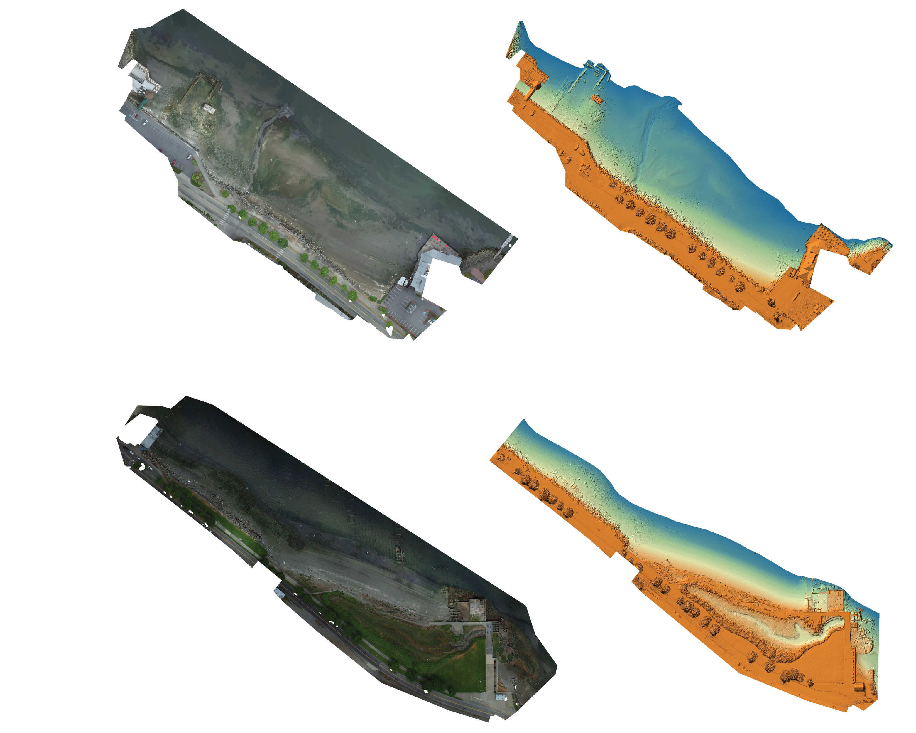
Examples of orthomosaic imagery and digital surface models

Detailed Description
Examples of orthomosaic imagery and high-resolution digital surface models of Puget Creek and Dickman Mill Park in Tacoma, WA.
Sources/Usage
Public Domain.
USGS data release
Aerial imagery and structure-from-motion data products from UAS survey of the intertidal zone at Puget Creek and Dickman Mill Park, Tacoma, WA, June 2019. An unmanned aerial system (UAS) was used to acquire high-resolution imagery of the intertidal zone at Puget Creek and Dickman Mill Park in Tacoma, Washington on June 3, 2019. This imagery was processed using structure-from-motion (SfM) photogrammetric techniques to derive high-resolution digital surface models (DSM), orthomosaic imagery, and topographic point clouds.