
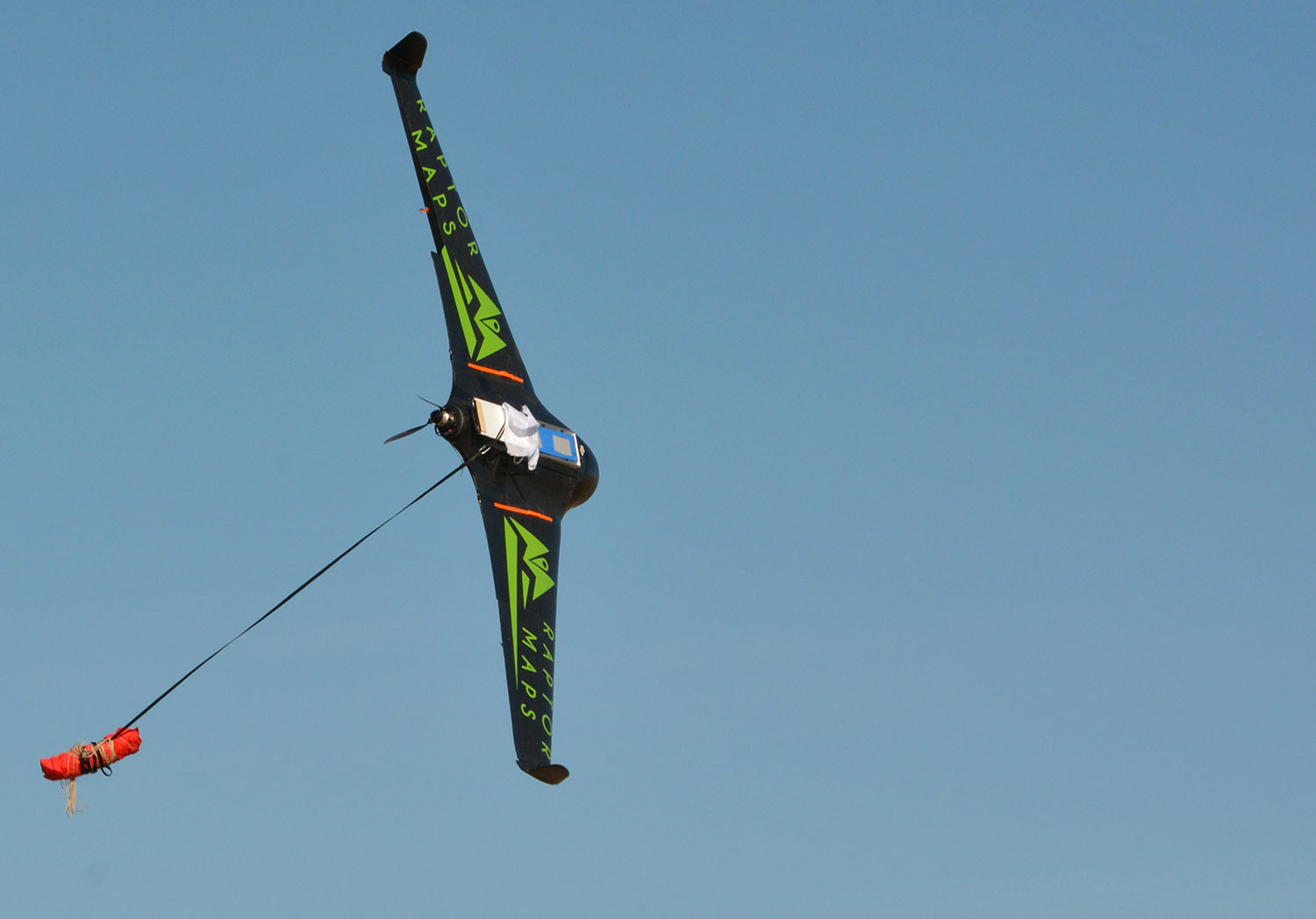
Fixed-wing unmanned aerial system deploying parachute
By Coastal and Marine Hazards and Resources Program
July 2016 (approx.)

Detailed Description
The Raptor Maps, Inc. X8 fixed-wing unmanned aerial system deploying its parachute at the end of the second mission. The first mission lasted 70 minutes and flew at about 120 meters above ground level with two 14 megapixel cameras. The second mission flew lower and longer (90 minutes), and mapped the same region with a near-infrared camera.
Sources/Usage
Public Domain.