
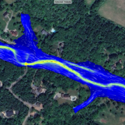
Flood Plane Map of Pleasant Run
Detailed Description
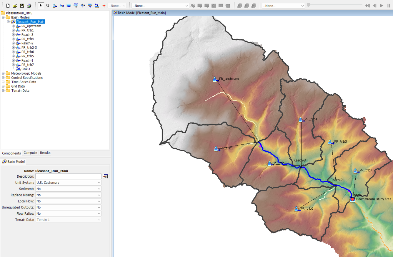
Screen capture showing an example of Hydrologic Modeling System (HMS) model geometry.
Sources/Usage
Public Domain.
Related
Flooded Roadway and Bridge Crossing Mapping and Early Warning System for Selected Communities in Hunterdon County, New Jersey
This project seeks to develop methods to identify when a flooded roadway or bridge crossing condition may exist and to provide a tool for users to select rainfall scenarios in addition to the selected river condition to estimate if road flooding may occur with the selected combination. These tools will provide officials in Hunterdon County and at the state level of management better early warning...