
Flooding in Central Pennsylvania
Detailed Description
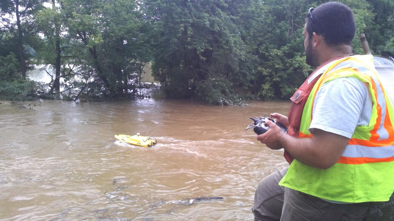
USGS scientist Cameron Ensor is using a remote-controlled boat to measure flood conditions on Codorus Creek at Pleasureville, Pennsylvania. The boat has an Acoustic Doppler Current Profiler to measure the velocity, depth and distance across the channel. This is one of the newer methods that increases safety by reducing the need for hydrologic technicians to enter the creeks and rivers. Normal water levels are 2 feet and the USGS recorded levels at 10.9 feet following heavy rain in the area.
Sources/Usage
Public Domain.