
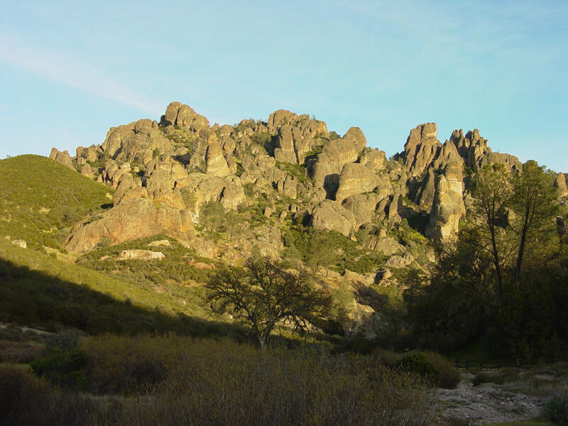
High Peaks area from west side
Detailed Description
This view of the High Peaks area is from the Chaparral parking area at the end of the road (Highway 146). The Juniper Canyon follows this valley up to the ridge crest on the right where it intersects both the High Peaks Trail and the Tunnel Trail. These two trails make a loop around the High Peaks area shown in the upper center part of this image.
Sources/Usage
Public Domain.