
Interior Mudflat on Jim Foot Key, Florida
Detailed Description
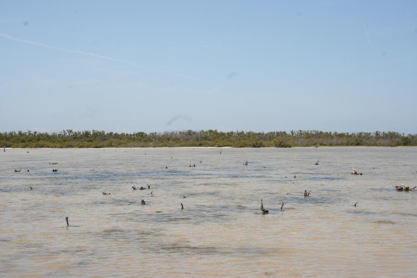
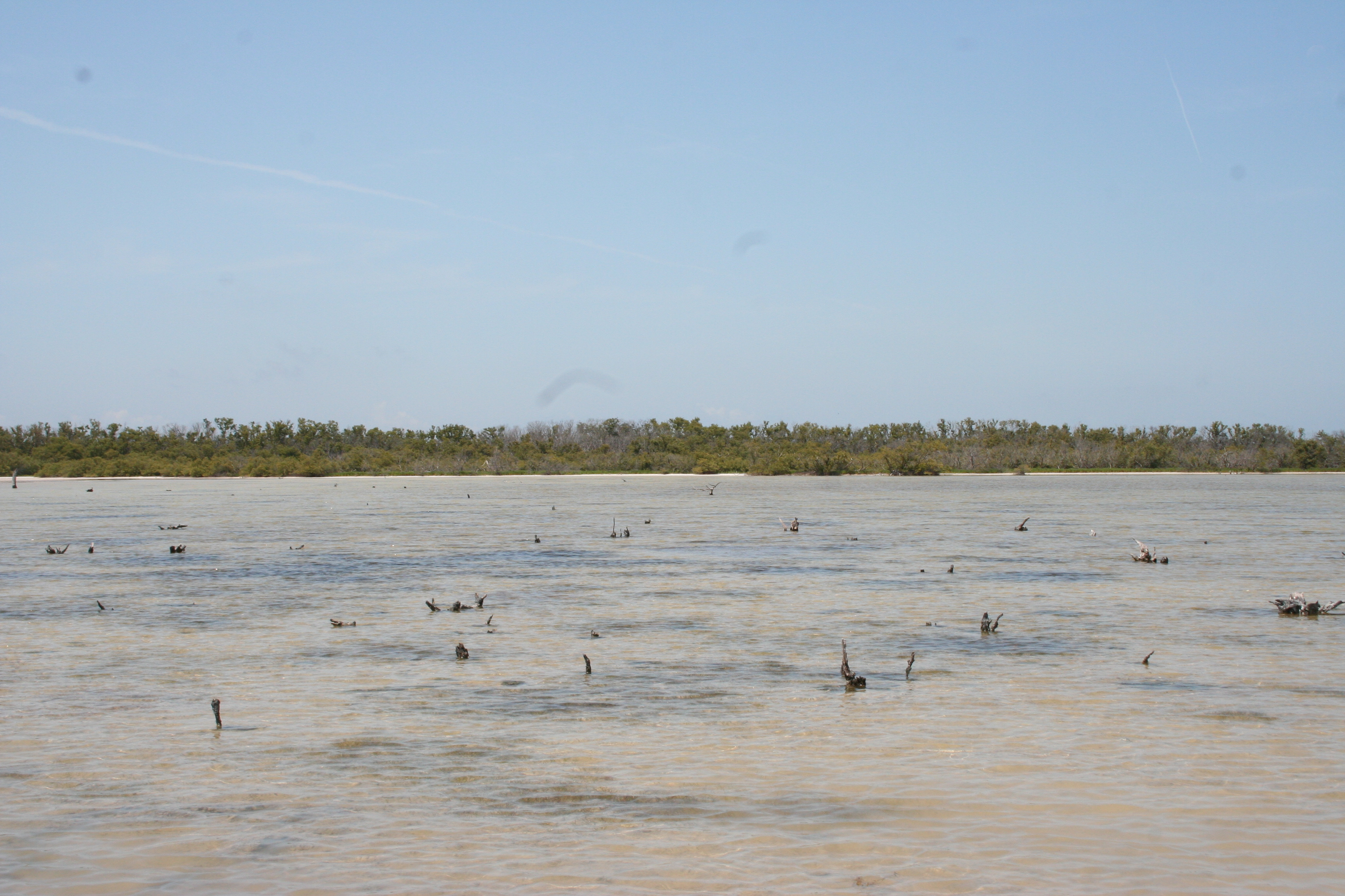
In Photo: Interior mudflat on Jim Foot Key covered with saline water, April 2019. Stumps of dead mangroves (reportedly damaged by Hurricane Donna in 1960 (Craighead, 1962)) are visible projecting from the water. Shadowed areas below the water are underwater grasses typically found in Florida Bay, now growing inside the island, indicating the mudflat is converting to an estuarine environment. These underwater grass beds were not present in previous visits.
Scientists from the Florence Bascom Geoscience Center first sampled four islands in Florida Bay, Everglades National Park, in April 2014 to collect cores to study sea level rise and storm history in the region. In September 2017, Hurricane Irma (a category 4 storm at landfall in the Florida Keys) passed just to the west of our field sites. The western-most of the four islands (Jim Foot Key) was closest to the eye of the storm and the most impacted.
Islands such as Jim Foot Key serve as examples of what might happen to the main-land coast of Florida with changes in sea level and climate. Observations through summer 2018 have been published but the research team continues to monitor Jim Foot Key to see if the protective berm will recover or if the eastern part of the island will be inundated by rising sea level.
Sources/Usage
Public Domain.